|
search place name
|
||
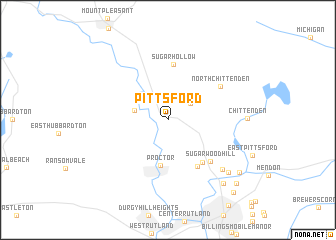
Pittsford (Vermont, United States - USA)Pittsford is a town in the Vermont region of United States - USA. An overview map of the region around Pittsford is displayed below.
regional and 3d topo map of Pittsford, United States - USA ::
Pittsford airports ::
The nearest airport is BTV - Burlington Intl, located 85.6 km north of Pittsford.
Other airports nearby include ALB - Albany Intl (123.6 km south west), CEF - Chicopee Falls Westover Arb Metropolitan (172.8 km south), YJN - St. Jean St Jean (177.6 km north), BED - Bedford Laurence G Hanscom Fld (197.3 km south east), Nearby towns ::
Grangerville (2.6km north east) //
Florence (2.9km west) //
Proctor (5.2km south) //
Mountain View Estates (5.5km south east) //
Pinnacle Ridge (5.7km south east) //
Sugar Hollow (6.2km north) //
Sugarwood Hill (5.7km south east) //
North Chittenden (5.6km north east) //
Prospect Hill (7.1km south east) //
Chittenden (6.4km east) //
Colonial Estates (7.6km south east) //
Countryside Estates (8.4km south east) //
Pinecrest Acres (8.3km south east) //
Chasanna Acres (9.0km south east) //
Blue Ridge Acres (9.7km south east) //
[all distances 'as the bird flies' and approximate] 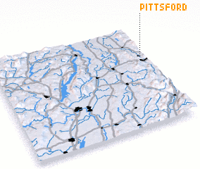 Places with similar names to Pittsford, United States - USA ::
Disclaimer :: Information on this page comes without warranty of any kind |
||
|
Where is Pittsford? Elevation and coordinates ::
Latitude (lat): 43°42'24"N Longitude (lon): 73°1'43"W
Elevation (approx.): 159m (map arrows pan, magnifying glasses zoom) |
||
|
Visiting Pittsford? Hotel/Accommodation ::
Book a hotel in Pittsford Travel Guide ::
rental cars ::
car rental offers GPS waypoint ::
download a GPX waypoint (PoI) of Pittsford for your GPS receiver
|
||