|
search place name
|
||
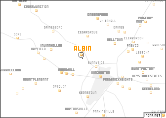
Albin (Virginia, United States - USA)Albin is a town in the Virginia region of United States - USA. An overview map of the region around Albin is displayed below.
regional and 3d topo map of Albin, United States - USA ::
Albin airports ::
The nearest airport is IAD - Washington Dulles Intl, located 71.3 km south east of Albin.
Other airports nearby include DCA - Ronald Reagan Washington Natl (108.6 km east), AOO - Altoona Blair Co (119.8 km north), ADW - Camp Springs Andrews Afb (Washington Dc Naf) (124.0 km east), BWI - Baltimore Washington Intl (132.3 km east), Nearby towns ::
Nain (1.9km north) //
Sunnyside (2.8km south east) //
Hill Crest (3.9km south west) //
Round Hill (4.4km south west) //
Cedar Grove (5.2km north) //
Winchester (5.0km south east) //
Chambersville (4.9km south west) //
Indian Hollow (6.0km west) //
Welltown (6.6km north east) //
Kernstown (8.6km south) //
McQuire (6.7km west) //
Opequon (8.3km south west) //
Gainesboro (8.2km north west) //
White Hall (8.9km north east) //
Frederick Heights (8.2km south east) //
Grimes (8.8km north east) //
[all distances 'as the bird flies' and approximate] 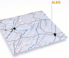 Places with similar names to Albin, United States - USA ::
Disclaimer :: Information on this page comes without warranty of any kind |
||
|
Where is Albin? Elevation and coordinates ::
Latitude (lat): 39°13'18"N Longitude (lon): 78°11'56"W
Elevation (approx.): 274m (map arrows pan, magnifying glasses zoom) |
||
|
Visiting Albin? Hotel/Accommodation ::
Book a hotel in Albin Travel Guide ::
rental cars ::
car rental offers GPS waypoint ::
download a GPX waypoint (PoI) of Albin for your GPS receiver
|
||