|
search place name
|
||
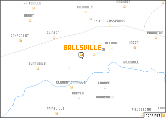
Ballsville (Virginia, United States - USA)Ballsville is a town in the Virginia region of United States - USA. An overview map of the region around Ballsville is displayed below.
regional and 3d topo map of Ballsville, United States - USA ::
Ballsville airports ::
The nearest airport is RIC - Richmond Intl, located 66.1 km east of Ballsville.
Other airports nearby include PHF - Newport News Williamsburg Intl (145.3 km east), LFI - Hampton Langley Afb (158.2 km east), IAD - Washington Dulles Intl (169.2 km north), NGU - Norfolk Ns (169.6 km east), Nearby towns ::
Hideaway Lake (2.3km north east) //
Tobaccoville (3.1km south west) //
Clementown Mills (6.7km south) //
Belona (5.7km north east) //
Clinton (7.1km north west) //
Lodore (7.7km south east) //
Smiths Crossroads (9.0km north east) //
[all distances 'as the bird flies' and approximate] 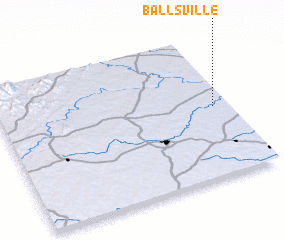 Places with similar names to Ballsville, United States - USA ::
// Baileysville (US)
// Bealsville (US)
// Bohleysville (US)
// Beallsville (US)
// Blissville (US)
// Balesville (US)
// Blossvale (US)
// Beallsville (US)
// Bowlusville (US)
// Beallsville (US)
Disclaimer :: Information on this page comes without warranty of any kind |
||
|
Where is Ballsville? Elevation and coordinates ::
Latitude (lat): 37°29'54"N Longitude (lon): 78°4'2"W
Elevation (approx.): 117m (map arrows pan, magnifying glasses zoom) |
||
|
Visiting Ballsville? Hotel/Accommodation ::
Book a hotel in Ballsville Travel Guide ::
rental cars ::
car rental offers GPS waypoint ::
download a GPX waypoint (PoI) of Ballsville for your GPS receiver
|
||