|
search place name
|
||
Cranes Nest (Virginia, United States - USA)Cranes Nest is a town in the Virginia region of United States - USA. An overview map of the region around Cranes Nest is displayed below.
regional and 3d topo map of Cranes Nest, United States - USA ::

Cranes Nest airports ::
The nearest airport is HKY - Hickory Rgnl, located 167.8 km south east of Cranes Nest.
Other airports nearby include TYS - Knoxville Mc Ghee Tyson (187.8 km south west), CLT - Charlotte Douglas Intl (239.0 km south east), Nearby towns ::
Toms Creek (1.8km south east) //
Bondtown (2.6km south) //
Coeburn (3.4km south) //
Maytown (4.1km south) //
Riverview (4.4km south) //
Lyons (4.4km north) //
Banner (4.7km south east) //
Vicco (4.5km east) //
Franco (4.6km east) //
Crab Orchard (6.3km south east) //
Hurricane (6.5km north west) //
Round Top (7.2km north west) //
Tacoma (6.8km south west) //
Herald (6.4km east) //
Flat Top (9.0km north east) //
Leck (9.6km north east) //
Dry Fork (9.6km south east) //
[all distances 'as the bird flies' and approximate] 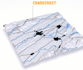 Places with similar names to Cranes Nest, United States - USA ::
// Kronsnest (DE)
Disclaimer :: Information on this page comes without warranty of any kind |
||
|
Where is Cranes Nest? Elevation and coordinates ::
Latitude (lat): 36°58'26"N Longitude (lon): 82°28'21"W
Elevation (approx.): 635m (map arrows pan, magnifying glasses zoom) |
||
|
Visiting Cranes Nest? Hotel/Accommodation ::
Book a hotel in Cranes Nest Travel Guide ::
rental cars ::
car rental offers GPS waypoint ::
download a GPX waypoint (PoI) of Cranes Nest for your GPS receiver
|
||