|
search place name
|
||
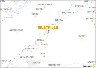
Rileyville (Virginia, United States - USA)Rileyville is a town in the Virginia region of United States - USA. An overview map of the region around Rileyville is displayed below.
regional and 3d topo map of Rileyville, United States - USA ::
Rileyville airports ::
The nearest airport is IAD - Washington Dulles Intl, located 83.4 km east of Rileyville.
Other airports nearby include DCA - Ronald Reagan Washington Natl (117.7 km east), EKN - Elkins Randolph Co Jennings Randolph (128.3 km west), ADW - Camp Springs Andrews Afb (Washington Dc Naf) (132.3 km east), BWI - Baltimore Washington Intl (155.9 km east), Nearby towns ::
Goods Mill (1.6km west) //
Compton (2.6km north east) //
Oak Hill (4.0km south west) //
Vaughn (5.2km south) //
Big Spring (5.4km south west) //
Overall (5.8km north east) //
Carmel (7.9km north west) //
Kimball (8.8km south) //
Springfield (8.4km south west) //
Bentonville (9.7km north east) //
[all distances 'as the bird flies' and approximate] 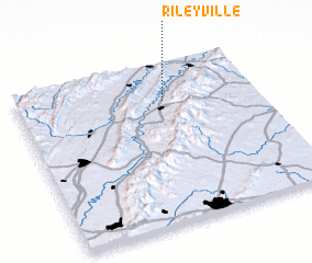 Places with similar names to Rileyville, United States - USA ::
// Rileyville (US)
// Río La Villa (PA)
// Rileyville (US)
// Ruleville (US)
// Rileyville (US)
// Rileyville (US)
// Rolleville (BS)
// Réalville (FR)
// Rolleville (FR)
Disclaimer :: Information on this page comes without warranty of any kind |
||
|
Where is Rileyville? Elevation and coordinates ::
Latitude (lat): 38°45'54"N Longitude (lon): 78°23'18"W
Elevation (approx.): 217m (map arrows pan, magnifying glasses zoom) |
||
|
Visiting Rileyville? Hotel/Accommodation ::
Book a hotel in Rileyville Travel Guide ::
rental cars ::
car rental offers GPS waypoint ::
download a GPX waypoint (PoI) of Rileyville for your GPS receiver
|
||