|
search place name
|
||
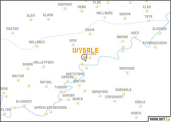
Ivydale (West Virginia, United States - USA)Ivydale is a town in the West Virginia region of United States - USA. An overview map of the region around Ivydale is displayed below.
regional and 3d topo map of Ivydale, United States - USA ::
Ivydale airports ::
The nearest airport is EKN - Elkins Randolph Co Jennings Randolph, located 109.7 km east of Ivydale.
Other airports nearby include LCK - Columbus Rickenbacker Intl (216.5 km north west), PIT - Pittsburgh (pennsylva) Pittsburgh Intl (227.8 km north), CMH - Port Columbus Intl (228.1 km north west), Nearby towns ::
Gould (0.9km south west) //
Kidtown (1.0km north east) //
Little Italy (1.5km south) //
Whetstone (4.2km south west) //
Dink (4.3km north west) //
Oakton (5.4km south) //
Spread (5.4km south west) //
Ossia (6.0km north) //
Triplett (6.6km south) //
Sand Fork (8.0km south) //
Clay Junction (7.7km south west) //
Groves (6.8km east) //
Two Run (7.9km south west) //
Ira (7.1km north east) //
Dundon (8.9km south) //
O'Brion (7.7km north east) //
Clay (9.4km south west) //
Maysel (8.7km south west) //
Cressmont (10.1km south east) //
Swandale (9.8km south east) //
[all distances 'as the bird flies' and approximate] 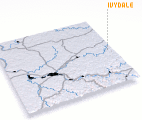 Places with similar names to Ivydale, United States - USA ::
Disclaimer :: Information on this page comes without warranty of any kind |
||
|
Where is Ivydale? Elevation and coordinates ::
Latitude (lat): 38°32'8"N Longitude (lon): 81°2'6"W
Elevation (approx.): 238m (map arrows pan, magnifying glasses zoom) |
||
|
Visiting Ivydale? Hotel/Accommodation ::
Book a hotel in Ivydale Travel Guide ::
rental cars ::
car rental offers GPS waypoint ::
download a GPX waypoint (PoI) of Ivydale for your GPS receiver
|
||