|
search place name
|
||
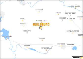
Huilsburg (Wisconsin, United States - USA)Huilsburg is a town in the Wisconsin region of United States - USA. An overview map of the region around Huilsburg is displayed below.
regional and 3d topo map of Huilsburg, United States - USA ::
Huilsburg airports ::
The nearest airport is MKE - Milwaukee General Mitchell Intl, located 66.8 km south east of Huilsburg.
Other airports nearby include MSN - Madison Dane Co Rgnl Truax Fld (76.2 km west), GRB - Green Bay Austin Straubel Intl (125.2 km north), ORD - Chicago Ohare Intl (162.6 km south), MDW - Chicago Midway Intl (186.8 km south), Nearby towns ::
Herman Center (3.3km north) //
Rubicon (4.9km south) //
Woodland (4.9km west) //
Hochheim (8.1km north) //
Iron Ridge (6.1km west) //
Neda (7.5km north west) //
Nenno (8.9km north east) //
Neosho (9.4km south west) //
[all distances 'as the bird flies' and approximate] 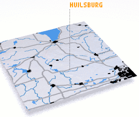 Places with similar names to Huilsburg, United States - USA ::
Disclaimer :: Information on this page comes without warranty of any kind |
||
|
Where is Huilsburg? Elevation and coordinates ::
Latitude (lat): 43°23'3"N Longitude (lon): 88°27'38"W
Elevation (approx.): 340m (map arrows pan, magnifying glasses zoom) |
||
|
Visiting Huilsburg? Hotel/Accommodation ::
Book a hotel in Huilsburg Travel Guide ::
rental cars ::
car rental offers GPS waypoint ::
download a GPX waypoint (PoI) of Huilsburg for your GPS receiver
|
||