|
search place name
|
||
Saint Martins (Wisconsin, United States - USA)Saint Martins is a town in the Wisconsin region of United States - USA. An overview map of the region around Saint Martins is displayed below.
regional and 3d topo map of Saint Martins, United States - USA ::

Saint Martins airports ::
The nearest airport is MKE - Milwaukee General Mitchell Intl, located 14.0 km east of Saint Martins.
Other airports nearby include ORD - Chicago Ohare Intl (103.4 km south), MSN - Madison Dane Co Rgnl Truax Fld (107.7 km west), MDW - Chicago Midway Intl (126.5 km south), GRB - Green Bay Austin Straubel Intl (176.0 km north), Nearby towns ::
Franklin (2.1km south east) //
Hales Corners (4.0km north) //
Durham (4.1km south) //
Tess Corners (4.2km north west) //
Union Church (6.6km south) //
Greendale (6.5km north east) //
Greenfield (7.5km north east) //
Kneeland (9.3km south east) //
New Berlin (9.3km north west) //
[all distances 'as the bird flies' and approximate] 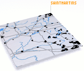 Places with similar names to Saint Martins, United States - USA ::
// Saint Martins (US)
// Saint Martins (US)
// Saint Martins (BB)
// Saint Martins (ZW)
// Saint Martins (CA)
// Saint Martins (GB)
// Sint-Martens (BE)
Disclaimer :: Information on this page comes without warranty of any kind |
||
|
Where is Saint Martins? Elevation and coordinates ::
Latitude (lat): 42°54'8"N Longitude (lon): 88°3'23"W
Elevation (approx.): 246m (map arrows pan, magnifying glasses zoom) |
||
|
Visiting Saint Martins? Hotel/Accommodation ::
Book a hotel in Saint Martins Travel Guide ::
rental cars ::
car rental offers GPS waypoint ::
download a GPX waypoint (PoI) of Saint Martins for your GPS receiver
|
||