|
search place name
|
||
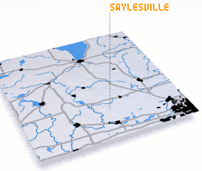
Saylesville (Wisconsin, United States - USA)Saylesville is a town in the Wisconsin region of United States - USA. An overview map of the region around Saylesville is displayed below.
regional and 3d topo map of Saylesville, United States - USA ::

Saylesville airports ::
The nearest airport is MKE - Milwaukee General Mitchell Intl, located 59.1 km south east of Saylesville.
Other airports nearby include MSN - Madison Dane Co Rgnl Truax Fld (75.1 km west), GRB - Green Bay Austin Straubel Intl (134.0 km north), ORD - Chicago Ohare Intl (153.2 km south), MDW - Chicago Midway Intl (177.4 km south), Nearby towns ::
 Places with similar names to Saylesville, United States - USA ::
// Sillsville (US)
// Saulsville (ZA)
// Selassie Villa (US)
// Solsville (US)
// Salesville (US)
// Saylesville (US)
// Salesville (US)
// Solliès-Ville (FR)
// Saulsville (US)
// Saylesville (US)
Disclaimer :: Information on this page comes without warranty of any kind |
||
|
Where is Saylesville? Elevation and coordinates ::
Latitude (lat): 43°18'1"N Longitude (lon): 88°26'21"W
Elevation (approx.): 288m (map arrows pan, magnifying glasses zoom) |
||
|
Visiting Saylesville? Hotel/Accommodation ::
Book a hotel in Saylesville Travel Guide ::
rental cars ::
car rental offers GPS waypoint ::
download a GPX waypoint (PoI) of Saylesville for your GPS receiver
|
||