|
search place name
|
||
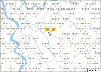
An Lạc (Hải Hưng, Vietnam)An Lạc is a town in the Hải Hưng region of Vietnam. An overview map of the region around An Lạc is displayed below.
regional and 3d topo map of An Lạc, Vietnam ::
An Lạc airports ::
The nearest airport is HAN - Hanoi Noibai Intl, located 37.1 km north west of An Lạc.
Nearby towns ::
Bẩn Yên Nhân (1.7km east) //
Yên Phú (1.7km east) //
Nhạc Miếu (1.7km east) //
Ngải Dương (1.9km north) //
Ðình Dù (2.5km north west) //
Hướng Ðạo (3.7km north) //
Phú Ða (3.9km south east) //
Yên Xá (3.9km south east) //
Ốc Nhiêu (4.1km south west) //
Ngô Xuyên (4.1km north west) //
Ðình Loan (3.9km north west) //
Trai Tuc (3.9km north west) //
Yên Lão (5.1km south east) //
Dịch Trì (5.1km south east) //
Liêu Thượng (5.1km south east) //
Nghĩa Lộ (5.1km north east) //
Như Quỳnh (5.1km north west) //
Thanh Khê (5.2km east) //
Doãn Xá (5.6km north) //
Ðông Than (5.6km south) //
Liễu Ngạn (5.8km north) //
Hòa Bình (5.5km west) //
Lại Ốc (5.5km west) //
Cửu Cảo (5.5km west) //
Thư Th (6.5km south east) //
Kiêu Kỵ (6.4km north west) //
Ðại Hạnh (6.5km south west) //
Ða Tiện (7.4km north) //
Yên Tập (7.2km east) //
[all distances 'as the bird flies' and approximate] 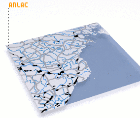 Places with similar names to An Lạc, Vietnam ::
Disclaimer :: Information on this page comes without warranty of any kind |
||
|
Where is An Lạc? Elevation and coordinates ::
Latitude (lat): 20°57'0"N Longitude (lon): 106°1'0"E
Elevation (approx.): 7m (map arrows pan, magnifying glasses zoom) |
||
|
Visiting An Lạc? Hotel/Accommodation ::
Book a hotel in An Lạc Travel Guide ::
Buy a travel guide for Vietnam rental cars ::
car rental offers GPS waypoint ::
download a GPX waypoint (PoI) of An Lạc for your GPS receiver
|
||