|
search place name
|
||
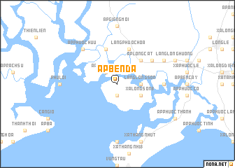
Ấp Bến Ðá (Vietnam)Ấp Bến Ðá is a town in Vietnam. An overview map of the region around Ấp Bến Ðá is displayed below.
regional and 3d topo map of Ấp Bến Ðá, Vietnam ::
Ấp Bến Ðá airports ::
The nearest airport is SGN - Ho Chi Minh City Tansonnhat Intl, located 59.8 km north west of Ấp Bến Ðá.
Nearby towns ::
Xã Long Sơn (2) (1.9km south) //
Ấp Hội Phước (2.6km north west) //
Làng Long Sơn (3.6km east) //
Xã Long Sơn (1) (4.1km south east) //
Ấp Long Cát (5.2km north east) //
Làng Phước Hòa (5.9km north) //
Ấp Hội Thanh (5.9km north) //
Ấp Phú Hải (6.6km north east) //
Ấp Long Hóa (7.3km east) //
Ấp Phước Hưu (7.8km north west) //
Ấp Long Xuân (8.2km north east) //
[all distances 'as the bird flies' and approximate] 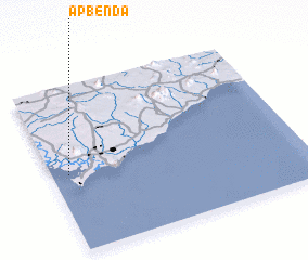 Places with similar names to Ấp Bến Ðá, Vietnam ::
Disclaimer :: Information on this page comes without warranty of any kind |
||
|
Where is Ấp Bến Ðá? Elevation and coordinates ::
Latitude (lat): 10°28'0"N Longitude (lon): 107°4'0"E
Elevation (approx.): 51m (map arrows pan, magnifying glasses zoom) |
||
|
Visiting Ấp Bến Ðá? Hotel/Accommodation ::
Book a hotel in Ấp Bến Ðá Travel Guide ::
Buy a travel guide for Vietnam rental cars ::
car rental offers GPS waypoint ::
download a GPX waypoint (PoI) of Ấp Bến Ðá for your GPS receiver
|
||