|
search place name
|
||
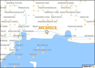
Ấp Công Cã (Kiến Giang, Vietnam)Ấp Công Cã is a town in the Kiến Giang region of Vietnam. An overview map of the region around Ấp Công Cã is displayed below.
regional and 3d topo map of Ấp Công Cã, Vietnam ::
Ấp Công Cã airports ::
The nearest airport is PNH - Phnom-penh Phnom Penh Intl, located 115.3 km north of Ấp Công Cã.
Other airports nearby include SGN - Ho Chi Minh City Tansonnhat Intl (217.9 km east), Nearby towns ::
Phumĭ Sâmraông Chĕn (3.7km north) //
Ấp Ðàm Chít (4.1km north west) //
Phumĭ Tnaôt Chŏng Sráng (4.1km north east) //
Phumĭ Mreăh (5.6km north) //
Phumĭ Ângk Téav (5.9km north) //
Xóm Tabœum (5.9km south) //
Phumĭ Khnay (5.9km north) //
Ấp Giồng Tà Ôn (6.6km south west) //
Phumĭ Tnaôt (6.6km north east) //
Phum Tà Mên (7.3km west) //
Phumĭ Prey Thum (7.6km north) //
Phum Trapéang Touk (7.6km south) //
Phumĭ Bântéay Méas (9.2km north west) //
Phumĭ Phnum Krâpeu (9.2km north east) //
Phumĭ Prey Kduŏch (10.4km north west) //
[all distances 'as the bird flies' and approximate] 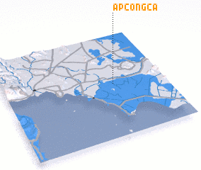 Places with similar names to Ấp Công Cã, Vietnam :: Disclaimer :: Information on this page comes without warranty of any kind |
||
|
Where is Ấp Công Cã? Elevation and coordinates ::
Latitude (lat): 10°31'0"N Longitude (lon): 104°41'0"E
Elevation (approx.): 3m (map arrows pan, magnifying glasses zoom) |
||
|
Visiting Ấp Công Cã? Hotel/Accommodation ::
Book a hotel in Ấp Công Cã Travel Guide ::
Buy a travel guide for Vietnam rental cars ::
car rental offers GPS waypoint ::
download a GPX waypoint (PoI) of Ấp Công Cã for your GPS receiver
|
||