|
search place name
|
||
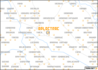
Ấp Lộc Trác (Tây Ninh, Vietnam)Ấp Lộc Trác is a town in the Tây Ninh region of Vietnam. An overview map of the region around Ấp Lộc Trác is displayed below.
regional and 3d topo map of Ấp Lộc Trác, Vietnam ::
Ấp Lộc Trác airports ::
The nearest airport is SGN - Ho Chi Minh City Tansonnhat Intl, located 39.2 km south east of Ấp Lộc Trác.
Other airports nearby include PNH - Phnom-penh Phnom Penh Intl (175.7 km west), Nearby towns ::
Trảng Bàng (0.0km north) //
Xá Rùng Cây (2) (1.8km east) //
Xá Cây Cau (1.8km east) //
Ấp Gia Lộc (2.6km north west) //
Tha La (3.6km west) //
Ấp An Phú (4.1km south east) //
Xá An Dức (4.1km south east) //
Xá Gia Bình (5.2km north west) //
Xá Rùng Cây (1) (5.6km north) //
Ấp Bình Ðông (5.8km south) //
Gia Bình (5.8km west) //
Ấp An Hưng (5.8km south) //
Lộc Giang (6.6km south west) //
Xóm Tháp (6.6km south east) //
Lộc Thành (6.6km south west) //
Lộc Hưng (6.6km north east) //
Ấp Lông Mức (6.6km north east) //
Thái Mỹ (6.6km south east) //
Xá Bo Heo (6.6km north east) //
Xá Ràng (3) (7.3km east) //
Xã Trung Hưng (7.5km east) //
Lộc Hòa (7.5km west) //
Lộc Thuận (7.5km west) //
Xóm Doi (7.5km west) //
Xá Bào Sen (7.8km north west) //
Xá Sa Nhỏ (2) (7.8km north east) //
Ấp Lọc Bình (7.8km south west) //
Ấp Bầu Ðiều (8.2km south east) //
Ấp An Hiệp (8.3km south west) //
[all distances 'as the bird flies' and approximate] 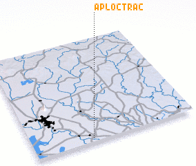 Places with similar names to Ấp Lộc Trác, Vietnam :: Disclaimer :: Information on this page comes without warranty of any kind |
||
|
Where is Ấp Lộc Trác? Elevation and coordinates ::
Latitude (lat): 11°2'0"N Longitude (lon): 106°22'0"E
Elevation (approx.): 9m (map arrows pan, magnifying glasses zoom) |
||
|
Visiting Ấp Lộc Trác? Hotel/Accommodation ::
Book a hotel in Ấp Lộc Trác Travel Guide ::
Buy a travel guide for Vietnam rental cars ::
car rental offers GPS waypoint ::
download a GPX waypoint (PoI) of Ấp Lộc Trác for your GPS receiver
|
||