|
search place name
|
||
Bản Bai (Sơn La, Vietnam)Bản Bai is a town in the Sơn La region of Vietnam. An overview map of the region around Bản Bai is displayed below.
regional and 3d topo map of Bản Bai, Vietnam ::

Bản Bai airports ::
The nearest airport is LPQ - Luang Prabang Luang Phabang Intl, located 236.0 km south west of Bản Bai.
Nearby towns ::
Bản Thẩm (NaNkm north) //
Bản Cụ (2) (NaNkm north) //
Bản Tang (1.9km north) //
Bản Hình (1.9km north) //
Sơn To (1.9km north) //
Bản Vay (1) (1.9km north) //
Bản Co (1.9km north) //
Bản Cung Mường (1.9km north) //
Tòng Co (1.7km east) //
Nà Ðính (1.9km south) //
Chiềng Pấc (1.9km south) //
Bản Chum (1.9km south) //
Bản Bay (2.5km north east) //
Bản Lề (2.5km north east) //
Bản Thẩm (2.5km north west) //
Bản Pé (2.5km north east) //
Bản Chiềng Puốc (2.5km south east) //
Bản May (2.5km south east) //
Bản Thốm (3.5km west) //
Bản Phe (3.5km west) //
Bản Lua (3.5km west) //
Bản Xen Tô (3.7km north) //
Bản Khoang (3.7km south) //
Bản Hua Na (3.9km north west) //
Bản Na Hay (3.9km north west) //
Bản Thúm (4.1km north east) //
Bản Lê (4.1km north east) //
Bản Phặng (4.1km south east) //
Bắc Cường (4.1km south east) //
[all distances 'as the bird flies' and approximate] 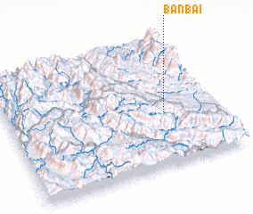 Places with similar names to Bản Bai, Vietnam ::
Disclaimer :: Information on this page comes without warranty of any kind |
||
|
Where is Bản Bai? Elevation and coordinates ::
Latitude (lat): 21°25'0"N Longitude (lon): 103°45'0"E
Elevation (approx.): 657m (map arrows pan, magnifying glasses zoom) |
||
|
Visiting Bản Bai? Hotel/Accommodation ::
Book a hotel in Bản Bai Travel Guide ::
Buy a travel guide for Vietnam rental cars ::
car rental offers GPS waypoint ::
download a GPX waypoint (PoI) of Bản Bai for your GPS receiver
|
||