|
search place name
|
||
Buôn Drao (Lâm Ðồng, Vietnam)Buôn Drao is a town in the Lâm Ðồng region of Vietnam. An overview map of the region around Buôn Drao is displayed below.
regional and 3d topo map of Buôn Drao, Vietnam ::

Buôn Drao airports ::
The nearest airport is NHA - Nhatrang, located 129.2 km east of Buôn Drao.
Other airports nearby include SGN - Ho Chi Minh City Tansonnhat Intl (203.1 km south west), Nearby towns ::
Bon Trao (1.8km east) //
Pang Giong (4.1km south west) //
Phi Sua (5.4km west) //
Pang Deung (5.6km north) //
Pang Xim (5.6km south) //
Buôn Snarr (5.7km west) //
Pang Tang (7.4km north) //
Hong Yu (7.5km east) //
Xóm Xroui (9.2km south east) //
[all distances 'as the bird flies' and approximate] 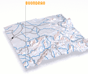 Places with similar names to Buôn Drao, Vietnam ::
// Beni Idder (MA)
// Beni Idir (MA)
// Beni Idir (MA)
// Bou Antar (MA)
// Boû Ouentere (MA)
// Bandīra (ET)
// Bander (ET)
// Bañadero (PH)
// Bañadero (PH)
// Bañadero (PH)
Disclaimer :: Information on this page comes without warranty of any kind |
||
|
Where is Buôn Drao? Elevation and coordinates ::
Latitude (lat): 12°4'0"N Longitude (lon): 108°1'0"E
Elevation (approx.): 730m (map arrows pan, magnifying glasses zoom) |
||
|
Visiting Buôn Drao? Hotel/Accommodation ::
Book a hotel in Buôn Drao Travel Guide ::
Buy a travel guide for Vietnam rental cars ::
car rental offers GPS waypoint ::
download a GPX waypoint (PoI) of Buôn Drao for your GPS receiver
|
||