|
search place name
|
||
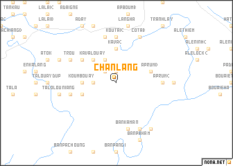
Chân Lang (Vietnam)Chân Lang is a town in Vietnam. An overview map of the region around Chân Lang is displayed below.
regional and 3d topo map of Chân Lang, Vietnam ::
Chân Lang airports ::
The nearest airport is DAD - Danang Intl, located 124.4 km east of Chân Lang.
Other airports nearby include PKZ - Pakse (181.4 km south west), Nearby towns ::
Làng Sam (1.9km north) //
Làng Ấp Py (2.6km north west) //
Ka Va (3.6km west) //
Ka Va Koutô (4.1km north west) //
Ka Va Louay (5.1km north west) //
Ka Va (1) (5.6km north) //
Koumbouay (5.3km west) //
Ka Va (2) (5.6km north) //
Ấp Rum (3) (5.7km east) //
Kou M'boi (5.7km west) //
Tavai (6.5km north west) //
Ta Wai (6.5km north west) //
Kou Tai (2) (7.4km north) //
Ấp Rum (2) (7.1km east) //
Kou Tai (1) (7.6km north) //
Koumbouay (7.4km west) //
Ban Kaman (7.6km south) //
Co Ta (1) (8.2km north east) //
Trou (8.0km north west) //
Ban Anô (8.2km south east) //
Ban Ading (9.1km south east) //
[all distances 'as the bird flies' and approximate] 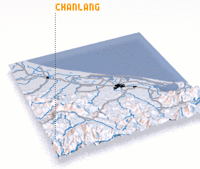 Places with similar names to Chân Lang, Vietnam ::
// Chaîne Longue (HT)
// Shunling (CN)
// Chánh Long (VN)
// Chenlong (CN)
// Chenliang (CN)
// Chenliang (CN)
// Chenling (CN)
// Chenling (CN)
// Chuanling (CN)
// Chuanling (CN)
Disclaimer :: Information on this page comes without warranty of any kind |
||
|
Where is Chân Lang? Elevation and coordinates ::
Latitude (lat): 16°13'0"N Longitude (lon): 107°3'0"E
Elevation (approx.): 973m (map arrows pan, magnifying glasses zoom) |
||
|
Visiting Chân Lang? Hotel/Accommodation ::
Book a hotel in Chân Lang Travel Guide ::
Buy a travel guide for Vietnam rental cars ::
car rental offers GPS waypoint ::
download a GPX waypoint (PoI) of Chân Lang for your GPS receiver
|
||