|
search place name
|
||
Châu Sơn (1) (Quảng Nam-Ðà Nẵng, Vietnam)Châu Sơn (1) is a town in the Quảng Nam-Ðà Nẵng region of Vietnam. An overview map of the region around Châu Sơn (1) is displayed below.
regional and 3d topo map of Châu Sơn (1), Vietnam ::

Châu Sơn (1) airports ::
The nearest airport is DAD - Danang Intl, located 35.7 km north east of Châu Sơn (1).
Nearby towns ::
Hoáng Phước Bắc (1) (0.0km north) //
Thượng Ðưc (1.9km south) //
Ngọc Kinh (1.9km south) //
Doi Son (1.9km north) //
Ðai An (1.8km east) //
Ðức Tây (1.8km east) //
Chánh Son (2) (2.6km north west) //
Phước Lâm (2.6km south east) //
Lập Thuận (3.6km east) //
Hội Khách (4.1km south west) //
Hoáng Phước Bắc (2) (4.0km north west) //
Thanh Ðại (4.0km north west) //
Ðại Hiệp (3) (4.1km south east) //
Ðại Hiệp (1) (5.1km south west) //
Linh Hiệp (5.1km south west) //
Hà Nà (2) (5.3km east) //
Ngoc Kinh (1) (5.3km east) //
Tâm Hiêp (5.7km east) //
An Diềm (6.5km north west) //
Hà Nhà (3) (7.1km east) //
Yeu (7.7km north west) //
Trưng Hiệp (2) (8.0km south west) //
Trưng Hiệp (3) (8.0km south west) //
Hiên Nhiêu (8.0km north west) //
[all distances 'as the bird flies' and approximate] 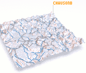 Places with similar names to Châu Sơn (1), Vietnam ::
Disclaimer :: Information on this page comes without warranty of any kind |
||
|
Where is Châu Sơn (1)? Elevation and coordinates ::
Latitude (lat): 15°51'0"N Longitude (lon): 107°56'0"E
Elevation (approx.): 16m (map arrows pan, magnifying glasses zoom) |
||
|
Visiting Châu Sơn (1)? Hotel/Accommodation ::
Book a hotel in Châu Sơn (1) Travel Guide ::
Buy a travel guide for Vietnam rental cars ::
car rental offers GPS waypoint ::
download a GPX waypoint (PoI) of Châu Sơn (1) for your GPS receiver
|
||