|
search place name
|
||
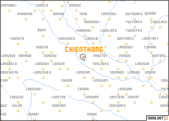
Chien Thông (Vietnam)Chien Thông is a town in Vietnam. An overview map of the region around Chien Thông is displayed below.
regional and 3d topo map of Chien Thông, Vietnam ::
Chien Thông airports ::
The nearest airport is HAN - Hanoi Noibai Intl, located 94.8 km north east of Chien Thông.
Nearby towns ::
Phú Lẫm (2.5km south east) //
Xóm Trang (2.5km north west) //
Làng Vua (3.5km east) //
Phúc Tuy (3.5km east) //
Làng Van (3.7km south) //
Làng Cài (4.1km north east) //
Ðông Lai (4.1km north east) //
Làng Ben Bai (4.1km south east) //
Yên Lường (3.9km south east) //
Ngọc Mỹ (3.9km north east) //
Làng Tram (3.9km south west) //
Xóm Coung (5.1km north west) //
Thanh Hối (5.6km north) //
Làng Vô (5.5km west) //
Làng Diên (6.6km south east) //
Chí Gao (6.6km south west) //
Thân Thượng (6.9km east) //
Làng Oc (6.9km east) //
Xóm Giều (6.9km west) //
Chí Gao (7.4km south) //
Chỉ Thiện (7.2km east) //
Mường Hai (7.6km north) //
Mong Luông (7.2km west) //
Làng Lang (7.6km north east) //
Làng Bai Nha (7.6km south east) //
Xóm Phéo (7.9km south east) //
Làng Boi (10.2km south east) //
[all distances 'as the bird flies' and approximate] 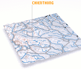 Places with similar names to Chien Thông, Vietnam ::
// Chinthengu (ZM)
// Chánh Thắng (VN)
Disclaimer :: Information on this page comes without warranty of any kind |
||
|
Where is Chien Thông? Elevation and coordinates ::
Latitude (lat): 20°30'0"N Longitude (lon): 105°19'0"E
Elevation (approx.): 80m (map arrows pan, magnifying glasses zoom) |
||
|
Visiting Chien Thông? Hotel/Accommodation ::
Book a hotel in Chien Thông Travel Guide ::
Buy a travel guide for Vietnam rental cars ::
car rental offers GPS waypoint ::
download a GPX waypoint (PoI) of Chien Thông for your GPS receiver
|
||