|
search place name
|
||
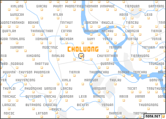
Chộ Lương (Vietnam)Chộ Lương is a town in Vietnam. An overview map of the region around Chộ Lương is displayed below.
regional and 3d topo map of Chộ Lương, Vietnam ::
Chộ Lương airports ::
The nearest airport is HAN - Hanoi Noibai Intl, located 65.4 km north of Chộ Lương.
Nearby towns ::
Lương Xá (0.0km north) //
Trác Bút (1.7km east) //
Yên Khê (1.7km west) //
Bái Xuyên (3.7km north) //
Du Mỹ (4.1km north east) //
Hòa Mạc (3.9km south east) //
Tiên Xá (4.1km south west) //
Thượng Châu (5.1km south east) //
Bạch Sam (5.1km north west) //
Ðội Sơn (5.6km south) //
Chuyện Thiện (5.2km east) //
Ninh Lão (5.2km west) //
Mang Sơn (5.8km south) //
Vĩnh Ninh (5.8km north) //
Quan Phố (5.5km east) //
Lặnh Trì (5.5km east) //
Ðức Chiêm (6.6km north east) //
Yên Từ (6.4km north east) //
Kim Lũ (6.6km south west) //
Co Trai (6.6km north west) //
Khai Thái (7.4km north) //
Yên Ninh (7.2km east) //
Dức Ninh (7.6km north) //
Xóm Canh (7.6km north) //
Ngọc Trúc (7.2km west) //
Mễ Châu (7.6km north east) //
Ðiền Xá (7.6km south west) //
Kệ Châu (7.9km north east) //
Văn Quan (8.2km south east) //
[all distances 'as the bird flies' and approximate] 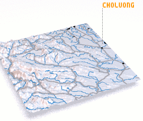 Places with similar names to Chộ Lương, Vietnam ::
Disclaimer :: Information on this page comes without warranty of any kind |
||
|
Where is Chộ Lương? Elevation and coordinates ::
Latitude (lat): 20°39'0"N Longitude (lon): 105°58'0"E
Elevation (approx.): 6m (map arrows pan, magnifying glasses zoom) |
||
|
Visiting Chộ Lương? Hotel/Accommodation ::
Book a hotel in Chộ Lương Travel Guide ::
Buy a travel guide for Vietnam rental cars ::
car rental offers GPS waypoint ::
download a GPX waypoint (PoI) of Chộ Lương for your GPS receiver
|
||