|
search place name
|
||
Cổ Pháp (Bắc Thái, Vietnam)Cổ Pháp is a town in the Bắc Thái region of Vietnam. An overview map of the region around Cổ Pháp is displayed below.
regional and 3d topo map of Cổ Pháp, Vietnam ::

Cổ Pháp airports ::
The nearest airport is HAN - Hanoi Noibai Intl, located 23.7 km south west of Cổ Pháp.
Nearby towns ::
Phù Lâm (1.9km south) //
Yên Châu (1.9km north) //
Vân Xuyên (1.7km east) //
Hà Châu (2.5km north east) //
Thái Thọ (3.7km south) //
An Cập (3.5km east) //
Thanh Vân (3.5km east) //
Thù Cốc (4.1km south west) //
Thanh Thù (3.9km north west) //
Ðống Tâu (4.1km south east) //
Nga My (4.1km north east) //
Xóm Giap (5.1km south west) //
Ngọc Sơn (5.6km north) //
Diềm Thụy (5.8km north) //
Thung Hạc (5.5km west) //
Thôn Tai (5.5km east) //
Phú Cốc (6.5km south west) //
Hiệp Hòa (6.4km south east) //
Liễu Ngoai (1) (6.4km south east) //
Vân Dương Hạ (6.5km north west) //
Xóm Diên (6.4km north west) //
Thôn Bãi (6.4km north east) //
Hùng Thắng (6.5km south east) //
Ðức Thắng (6.5km south east) //
Ba Hàng (6.3km west) //
Nha Lộng (7.3km north) //
Mai Sơn (7.4km south) //
Phú Bình (7.4km north) //
Triều Dương (1) (7.4km north) //
[all distances 'as the bird flies' and approximate] 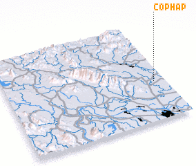 Places with similar names to Cổ Pháp, Vietnam ::
Disclaimer :: Information on this page comes without warranty of any kind |
||
|
Where is Cổ Pháp? Elevation and coordinates ::
Latitude (lat): 21°24'0"N Longitude (lon): 105°56'0"E
Elevation (approx.): 16m (map arrows pan, magnifying glasses zoom) |
||
|
Visiting Cổ Pháp? Hotel/Accommodation ::
Book a hotel in Cổ Pháp Travel Guide ::
Buy a travel guide for Vietnam rental cars ::
car rental offers GPS waypoint ::
download a GPX waypoint (PoI) of Cổ Pháp for your GPS receiver
|
||