|
search place name
|
||
Ðông Khê (Thái Bình, Vietnam)Ðông Khê is a town in the Thái Bình region of Vietnam. An overview map of the region around Ðông Khê is displayed below.
regional and 3d topo map of Ðông Khê, Vietnam ::

Ðông Khê airports ::
The nearest airport is HAN - Hanoi Noibai Intl, located 97.4 km north west of Ðông Khê.
Nearby towns ::
Cổ Dẳng (1.9km north) //
Hòe Nha (2.5km north east) //
Bất Nạo (2.5km north east) //
Ðồng Quan (2.5km south west) //
Phi Liệt (3.7km south) //
Thượng Liệt (3.7km south) //
Duyên Trữ (3.5km east) //
Phương Quan (3.9km north west) //
Vô Hối (4.1km south east) //
Tràng Lu (5.1km north west) //
Ninh Cù (5.1km north east) //
An Dân (5.5km east) //
Ðào Xá (5.5km west) //
An Duc (5.8km north) //
Kỳ Trọng (5.5km west) //
Tô Ðê (5.8km north) //
Ðồng Kỷ (6.6km north west) //
Vô Song (6.4km south west) //
Phật Lộc (6.6km south east) //
Tô Xuyên (7.4km north) //
Cổ Dũng (6.9km west) //
Dương Xuyên (7.4km south) //
Vũ Hạ (7.6km north) //
Phu Lưu (7.2km west) //
Thanh Mai (7.6km north) //
Lại Triều (7.2km east) //
Thuyền Quan (7.6km south) //
Hà Dương (7.6km north east) //
An Quí (7.6km north east) //
[all distances 'as the bird flies' and approximate] 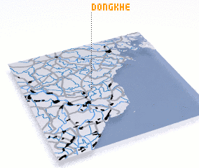 Places with similar names to Ðông Khê, Vietnam ::
Disclaimer :: Information on this page comes without warranty of any kind |
||
|
Where is Ðông Khê? Elevation and coordinates ::
Latitude (lat): 20°34'0"N Longitude (lon): 106°26'0"E
Elevation (approx.): 1m (map arrows pan, magnifying glasses zoom) |
||
|
Visiting Ðông Khê? Hotel/Accommodation ::
Book a hotel in Ðông Khê Travel Guide ::
Buy a travel guide for Vietnam rental cars ::
car rental offers GPS waypoint ::
download a GPX waypoint (PoI) of Ðông Khê for your GPS receiver
|
||