|
search place name
|
||
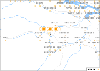
Ðồng Nghèn (Vietnam)Ðồng Nghèn is a town in Vietnam. An overview map of the region around Ðồng Nghèn is displayed below.
regional and 3d topo map of Ðồng Nghèn, Vietnam ::
Ðồng Nghèn airports ::
The nearest airport is ZVK - Savannakhet, located 200.9 km south west of Ðồng Nghèn.
Other airports nearby include DAD - Danang Intl (272.1 km south east), Nearby towns ::
Trốc (0.0km north) //
Ðồng Bãi (1.9km south) //
Ngọn Rào (2.6km north west) //
Lâm Xuân (2.6km north west) //
Bầu Sen (3.7km south) //
Hói Mương (3.7km south) //
Khe Phat (3.5km west) //
Cây Lim (4.1km north east) //
Vực Trô (4.0km south west) //
Rành Rành (5.3km east) //
Ðá Lòn (5.6km south) //
Phường Lập (5.6km south) //
Phong Nha (5.8km south) //
Khe Ngang (5.6km east) //
Hà Lời (6.6km south east) //
Cừ Lạc (6.5km south east) //
Xuân Sơn (6.5km south east) //
Phường Chày (7.4km south) //
Cổ Giang (8.0km south east) //
Tam Trang (8.0km north east) //
Thung Thung (8.0km north east) //
[all distances 'as the bird flies' and approximate] 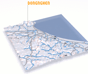 Places with similar names to Ðồng Nghèn, Vietnam ::
// Tungan Fona (NG)
Disclaimer :: Information on this page comes without warranty of any kind |
||
|
Where is Ðồng Nghèn? Elevation and coordinates ::
Latitude (lat): 17°39'0"N Longitude (lon): 106°16'0"E
Elevation (approx.): 18m (map arrows pan, magnifying glasses zoom) |
||
|
Visiting Ðồng Nghèn? Hotel/Accommodation ::
Book a hotel in Ðồng Nghèn Travel Guide ::
Buy a travel guide for Vietnam rental cars ::
car rental offers GPS waypoint ::
download a GPX waypoint (PoI) of Ðồng Nghèn for your GPS receiver
|
||