|
search place name
|
||
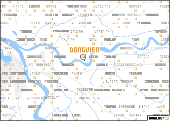
Ðổng Viên (Vietnam)Ðổng Viên is a town in Vietnam. An overview map of the region around Ðổng Viên is displayed below.
regional and 3d topo map of Ðổng Viên, Vietnam ::
Ðổng Viên airports ::
The nearest airport is HAN - Hanoi Noibai Intl, located 26.3 km north west of Ðổng Viên.
Nearby towns ::
Phù Ðổng (1.7km west) //
Kim Sơn (1.9km south) //
Lệ Chi (1.7km east) //
Cư Ða (2.5km south west) //
Thịnh Liên (2.5km north east) //
Phú Th (4.1km south west) //
Ðặng Xá (3.9km south west) //
Ðại Vi (4.1km north east) //
Ðình Tổ (3.9km north east) //
Cổ Giang (3.9km south east) //
Xuân Lễ (3.9km south east) //
Phù Ninh (5.1km north west) //
Phật Tích (5.1km north east) //
Ða Tiện (5.1km south east) //
Trà Lâm (5.2km east) //
Vụ Dồng (5.2km west) //
Ðại Dính (5.8km north) //
Phủ Từ Sơn (5.8km north) //
Công Thôn (5.5km west) //
Ðồng Lượng (5.8km north) //
Phù Lập (6.4km north east) //
Dinh Bàng (6.5km north west) //
Thạch Cầu (6.4km south west) //
Cam Thon (6.4km south west) //
Mãn Xá (6.4km south east) //
Doãn Xá (6.5km south east) //
Vằn Trinh (6.5km north east) //
Quan Tình (6.9km west) //
Phù Lưu (7.4km north) //
[all distances 'as the bird flies' and approximate] 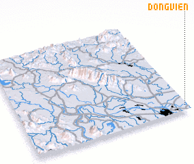 Places with similar names to Ðổng Viên, Vietnam ::
Disclaimer :: Information on this page comes without warranty of any kind |
||
|
Where is Ðổng Viên? Elevation and coordinates ::
Latitude (lat): 21°3'0"N Longitude (lon): 105°59'0"E
Elevation (approx.): 11m (map arrows pan, magnifying glasses zoom) |
||
|
Visiting Ðổng Viên? Hotel/Accommodation ::
Book a hotel in Ðổng Viên Travel Guide ::
Buy a travel guide for Vietnam rental cars ::
car rental offers GPS waypoint ::
download a GPX waypoint (PoI) of Ðổng Viên for your GPS receiver
|
||