|
search place name
|
||
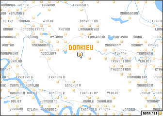
Ðon Kiều (Vietnam)Ðon Kiều is a town in Vietnam. An overview map of the region around Ðon Kiều is displayed below.
regional and 3d topo map of Ðon Kiều, Vietnam ::
Ðon Kiều airports ::
The nearest airport is SNO - Sakon Nakhon, located 229.0 km south west of Ðon Kiều.
Nearby towns ::
Xuân Hoa (1.8km east) //
Cư Ðại (2.6km north west) //
Cư Phú (4.0km north west) //
Lưu Mỹ (5.1km north west) //
Làng Phú Ôc (5.1km north east) //
Trai Van Giai (5.3km east) //
Cô Lãm (5.6km north) //
Nghĩa Ðông (5.8km south) //
Nam Sơn (5.6km west) //
Làng Mâu Lâm Hạ (5.6km east) //
Làng Mâu Lâm Trung (5.6km east) //
Làng Ðiển Yên (5.8km north) //
Mỹ Thịnh (6.4km north west) //
Phủ Yên (6.6km north west) //
Ða Chộ (6.6km north west) //
Ngọc Luật (7.0km west) //
Ða Phuc (7.0km east) //
Hôi Yên (7.4km north) //
Ðông Xuân (7.6km south) //
Xóm Vân Mỹ (7.3km east) //
Xóm Yên Sơn (7.6km north) //
Nguyệt Tỉnh (7.3km east) //
Cỏ Văn (7.6km north) //
Trang Mao (7.7km south west) //
Nam Thượng Lý (7.9km north west) //
Lưu Sơn (7.9km north west) //
Ðồng Quĩ (8.2km north east) //
Trung Ðông Ly (9.0km north west) //
Yên Lôc (10.2km north west) //
[all distances 'as the bird flies' and approximate] 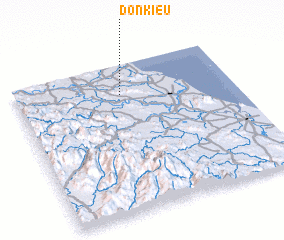 Places with similar names to Ðon Kiều, Vietnam ::
Disclaimer :: Information on this page comes without warranty of any kind |
||
|
Where is Ðon Kiều? Elevation and coordinates ::
Latitude (lat): 18°48'0"N Longitude (lon): 105°29'0"E
Elevation (approx.): 24m (map arrows pan, magnifying glasses zoom) |
||
|
Visiting Ðon Kiều? Hotel/Accommodation ::
Book a hotel in Ðon Kiều Travel Guide ::
Buy a travel guide for Vietnam rental cars ::
car rental offers GPS waypoint ::
download a GPX waypoint (PoI) of Ðon Kiều for your GPS receiver
|
||