|
search place name
|
||
Ðức Lâm (Vietnam)Ðức Lâm is a town in Vietnam. An overview map of the region around Ðức Lâm is displayed below.
regional and 3d topo map of Ðức Lâm, Vietnam ::

Ðức Lâm airports ::
The nearest airport is SNO - Sakon Nakhon, located 221.6 km south west of Ðức Lâm.
Other airports nearby include ZVK - Savannakhet (223.8 km south west), Nearby towns ::
Nam Thôn (1.8km east) //
Hoàng Cần (2.6km north west) //
Thượng Nội (2.6km north east) //
Kỉnh Thộn (3.5km east) //
Nghĩa Sơn (4.1km north east) //
Vĩnh Lại (4.0km north east) //
Hương Nào (5.1km north west) //
Ðông Trụ (5.1km north east) //
Kẻ Sắn (5.1km south east) //
Huyên Côn (5.3km east) //
Phú Hào (2) (5.6km north) //
Ðông Lô (5.6km north) //
Văn Thư (5.6km north) //
Vinh Ngá (5.8km north) //
Thượng Giáp (5.8km north) //
Qui Vinh (5.6km east) //
Ðồng Xuân (5.6km east) //
Thiên Niệm (5.8km north) //
Phương Duệ (6.5km north east) //
Vĩnh Lưu (6.6km north west) //
Ðại Nài (6.6km north east) //
Phương Phong (6.5km south east) //
Bàu Mè (6.5km south east) //
Hoàn Giáp (7.4km north) //
Hà Tĩnh (7.6km north) //
Chợ Vực (7.3km east) //
Làng Nhân Trại (7.7km south west) //
Như Xuân (7.7km south east) //
Phất Não (7.7km north east) //
[all distances 'as the bird flies' and approximate] 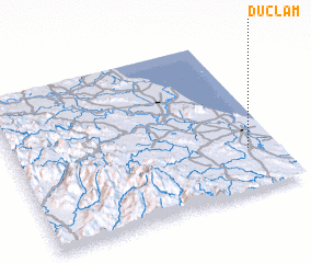 Places with similar names to Ðức Lâm, Vietnam ::
// Tuca-loma (BO)
// Tugulym (RU)
// Tugulym (RU)
// Diclum (PH)
// Dikulum (PH)
// Tocaloma (US)
// Takilma (US)
// Dougouloumi (BF)
// Tougoulema (BF)
// Takalama (CF)
Disclaimer :: Information on this page comes without warranty of any kind |
||
|
Where is Ðức Lâm? Elevation and coordinates ::
Latitude (lat): 18°16'0"N Longitude (lon): 105°53'0"E
Elevation (approx.): 14m (map arrows pan, magnifying glasses zoom) |
||
|
Visiting Ðức Lâm? Hotel/Accommodation ::
Book a hotel in Ðức Lâm Travel Guide ::
Buy a travel guide for Vietnam rental cars ::
car rental offers GPS waypoint ::
download a GPX waypoint (PoI) of Ðức Lâm for your GPS receiver
|
||