|
search place name
|
||
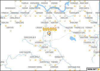
Ðu Ðồng (Vietnam)Ðu Ðồng is a town in Vietnam. An overview map of the region around Ðu Ðồng is displayed below.
regional and 3d topo map of Ðu Ðồng, Vietnam ::
Ðu Ðồng airports ::
The nearest airport is SNO - Sakon Nakhon, located 207.0 km south west of Ðu Ðồng.
Other airports nearby include ZVK - Savannakhet (226.4 km south), Nearby towns ::
Quang Tệ (1.9km south) //
Phung Công (1.9km north) //
Văn Tân (1.8km west) //
Ðồng Lạc (1.9km north) //
Trầm Bàng (2.6km north east) //
Chinh Chung (2.6km north east) //
Yên Trung (2.6km south west) //
Bắc Giap (2.6km north west) //
Ðồng Ông (4.1km north east) //
Hổa Yên (4.1km north east) //
Dôn Bồng (4.1km south west) //
Ân Phú (4.1km north west) //
Bổng Giap (4.1km north west) //
Thị Thôn (4.1km north west) //
Làng Du (4.0km south west) //
Lai Ðồng (4.0km north west) //
Vĩnh Phúc (5.1km south west) //
Trại Rú Nha (5.6km south) //
Hue Ốc (5.6km north) //
Cẩn Ky (5.8km north) //
Phương Duệ (5.8km south) //
Quang Tiên (5.6km east) //
Mỹ Xuyên (5.6km east) //
Rú Cồng (5.8km south) //
Bãi Một (5.8km south) //
Hạ Thôn (5.8km north) //
Yên Duệ (5.8km south) //
Thượng Bồng (6.4km south west) //
Hạ Bồng (6.4km south west) //
[all distances 'as the bird flies' and approximate] 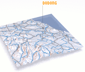 Places with similar names to Ðu Ðồng, Vietnam ::
Disclaimer :: Information on this page comes without warranty of any kind |
||
|
Where is Ðu Ðồng? Elevation and coordinates ::
Latitude (lat): 18°27'0"N Longitude (lon): 105°34'0"E
Elevation (approx.): 10m (map arrows pan, magnifying glasses zoom) |
||
|
Visiting Ðu Ðồng? Hotel/Accommodation ::
Book a hotel in Ðu Ðồng Travel Guide ::
Buy a travel guide for Vietnam rental cars ::
car rental offers GPS waypoint ::
download a GPX waypoint (PoI) of Ðu Ðồng for your GPS receiver
|
||