|
search place name
|
||
Giơ Sui Thàng (Lai Châu, Vietnam)Giơ Sui Thàng is a town in the Lai Châu region of Vietnam. An overview map of the region around Giơ Sui Thàng is displayed below.
regional and 3d topo map of Giơ Sui Thàng, Vietnam ::
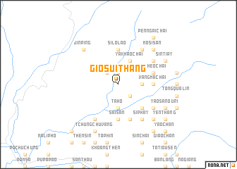
Nearby towns ::
Ma Li Chai (1.9km north) //
Pu Lao Chai (2.5km north west) //
Ta Chù Phung (2.5km south east) //
Gia Khao Chài (3.4km east) //
Ta Ho (3.7km south) //
Ya Khao Chai (4.1km north east) //
Ko Ti Tang (5.0km south east) //
Vang Ma Chài (5.1km east) //
Si Lo Lào (5.6km north) //
Sài San (5.6km south) //
Kièu Phàng Pản Po (5.6km south) //
Va Phèo Chai (5.5km east) //
Cao Sin Chai (5.8km south) //
Mo Si San (6.3km north east) //
Seo Ho Thau (6.3km north east) //
Ma Sao Phin (6.3km north east) //
Kièu Phàng Pản Po (6.5km south west) //
Lao Tiay (6.5km north east) //
Si Phay (6.5km south east) //
Cao Sin Chai (6.3km south east) //
Yao San Meo (6.3km south east) //
Jinping (7.6km north west) //
Mo Si San (7.6km north east) //
Penn Po (7.6km south east) //
Sin Tiay (7.8km north east) //
Mu Sang (8.2km south west) //
Tchung Chu Vang (8.2km south west) //
Yao San Ouri (7.8km south east) //
Pên Ngai Chai (9.0km north east) //
[all distances 'as the bird flies' and approximate] 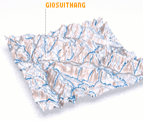 Places with similar names to Giơ Sui Thàng, Vietnam :: Disclaimer :: Information on this page comes without warranty of any kind |
||
|
Where is Giơ Sui Thàng? Elevation and coordinates ::
Latitude (lat): 22°43'0"N Longitude (lon): 103°18'0"E
Elevation (approx.): 863m (map arrows pan, magnifying glasses zoom) |
||
|
Visiting Giơ Sui Thàng? Hotel/Accommodation ::
Book a hotel in Giơ Sui Thàng Travel Guide ::
Buy a travel guide for Vietnam rental cars ::
car rental offers GPS waypoint ::
download a GPX waypoint (PoI) of Giơ Sui Thàng for your GPS receiver
|
||