|
search place name
|
||
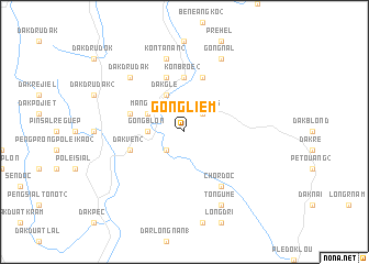
Gong Liêm (Quảng Nam-Ðà Nẵng, Vietnam)Gong Liêm is a town in the Quảng Nam-Ðà Nẵng region of Vietnam. An overview map of the region around Gong Liêm is displayed below.
regional and 3d topo map of Gong Liêm, Vietnam ::
Gong Liêm airports ::
The nearest airport is DAD - Danang Intl, located 107.1 km north of Gong Liêm.
Nearby towns ::
Gong Rieng (2.6km north east) //
Gong Tut (2.6km south west) //
Gong Blôn (3.6km west) //
Dak Bla (4.1km north west) //
Dak Gle (4.1km north west) //
Mang Bul (4.0km north west) //
Kon Broê (2) (5.6km north) //
Kâlô (5.8km north) //
Dak Vên (2) (5.7km west) //
Dak Rôtak (5.7km west) //
Dak Vên (1) (5.7km west) //
Kon Broê (1) (5.8km north) //
Chordoc (6.6km south east) //
Kon Tanan (2) (7.6km north) //
Dak Dru Dak (7.7km north west) //
Gong Nal (8.2km north east) //
Tongume (8.2km south east) //
[all distances 'as the bird flies' and approximate]  Places with similar names to Gong Liêm, Vietnam ::
// Kangalom (TD)
// Kouinkélama (TD)
// Cuncolim (IN)
// Kounkalama (GN)
// Concolima (MZ)
// Konglum (MM)
// Konglom (MM)
// Konkolumai (LR)
// Quang Lam (VN)
// Quảng Lãm (VN)
Disclaimer :: Information on this page comes without warranty of any kind |
||
|
Where is Gong Liêm? Elevation and coordinates ::
Latitude (lat): 15°9'0"N Longitude (lon): 107°49'0"E
Elevation (approx.): 1252m (map arrows pan, magnifying glasses zoom) |
||
|
Visiting Gong Liêm? Hotel/Accommodation ::
Book a hotel in Gong Liêm Travel Guide ::
Buy a travel guide for Vietnam rental cars ::
car rental offers GPS waypoint ::
download a GPX waypoint (PoI) of Gong Liêm for your GPS receiver
|
||