|
search place name
|
||
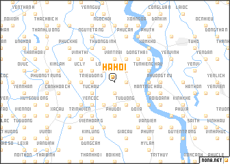
Hạ Họi (Vietnam)Hạ Họi is a town in Vietnam. An overview map of the region around Hạ Họi is displayed below.
regional and 3d topo map of Hạ Họi, Vietnam ::
Hạ Họi airports ::
The nearest airport is HAN - Hanoi Noibai Intl, located 43.4 km north of Hạ Họi.
Nearby towns ::
Ba Lăng (1.9km south) //
Tám Xá (1.7km east) //
Duc Trach (2.5km north east) //
Loc Du (2.5km north west) //
La Phù (2.5km north west) //
Cống Xuyên (3.7km south) //
Triều Ðông (3.5km west) //
Van Trai (3.7km north) //
Tử Dương (4.1km south east) //
Phượng Vũ (4.1km south west) //
Từ Châu (3.9km south west) //
Phú Cốc (4.1km north east) //
Chát Cau (3.9km north west) //
Tín Yên (5.1km south east) //
Yên Cốc (5.1km south west) //
Ðông Thai (5.1km north east) //
Thụy Ung (5.1km north west) //
Thượng Thụy (5.2km west) //
Kiến Châu (5.2km east) //
Phú Ðôi (5.6km south) //
Hà Vĩ (5.5km east) //
Man Tru Chau (5.5km east) //
Tự Nhiên Châu (5.5km east) //
Chương Dương (5.5km east) //
Úc Lý (5.5km west) //
Thượng Ðinh (5.8km north) //
Chu Mại (6.4km south west) //
Lưu Khê (6.4km south east) //
Ðỗ Xá (6.6km south east) //
[all distances 'as the bird flies' and approximate] 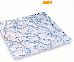 Places with similar names to Hạ Họi, Vietnam ::
Disclaimer :: Information on this page comes without warranty of any kind |
||
|
Where is Hạ Họi? Elevation and coordinates ::
Latitude (lat): 20°50'0"N Longitude (lon): 105°52'0"E
Elevation (approx.): 5m (map arrows pan, magnifying glasses zoom) |
||
|
Visiting Hạ Họi? Hotel/Accommodation ::
Book a hotel in Hạ Họi Travel Guide ::
Buy a travel guide for Vietnam rental cars ::
car rental offers GPS waypoint ::
download a GPX waypoint (PoI) of Hạ Họi for your GPS receiver
|
||