|
search place name
|
||
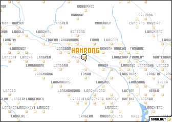
Hàm Rồng (Vietnam)Hàm Rồng is a town in Vietnam. An overview map of the region around Hàm Rồng is displayed below.
regional and 3d topo map of Hàm Rồng, Vietnam ::
Hàm Rồng airports ::
The nearest airport is HAN - Hanoi Noibai Intl, located 161.7 km south east of Hàm Rồng.
Nearby towns ::
Làng Gia Ha (1.9km north) //
Làng Ốe (1.9km south) //
Làng Mán (1.7km west) //
Nà Hóa (1.7km west) //
Làng Khanh (2.5km north east) //
Làng Cha (3.4km west) //
Tô Mậu (3.7km south) //
Cò Híb (4.1km north east) //
Làng Khanh (3.9km north east) //
Làng Già Thương (4.1km north west) //
Nà Hòa (3.9km south east) //
Làng Dông Mông (3.9km north west) //
Làng Phương (5.1km north west) //
Làng Côc (5.5km west) //
Làng Dau (5.5km west) //
Làng Nọc (5.5km east) //
Bản Bang (5.8km north) //
Lung Co (1) (6.3km north east) //
Làng Hôc (6.5km south east) //
Khe Chiêu (6.5km south east) //
Làng Mường (6.3km south east) //
Làng Chap (6.9km east) //
Nam Cho (7.1km east) //
Làng Bươm (7.1km east) //
Làng Khương (7.6km south) //
Làng Khiêng (7.6km south west) //
Làng Binh (7.8km north east) //
Kouei Biên (8.2km north east) //
Thác Nú (7.8km north west) //
[all distances 'as the bird flies' and approximate] 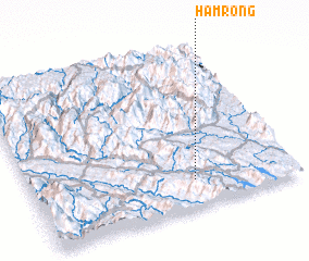
Disclaimer :: Information on this page comes without warranty of any kind |
||
|
Where is Hàm Rồng? Elevation and coordinates ::
Latitude (lat): 22°10'0"N Longitude (lon): 104°37'0"E
Elevation (approx.): 194m (map arrows pan, magnifying glasses zoom) |
||
|
Visiting Hàm Rồng? Hotel/Accommodation ::
Book a hotel in Hàm Rồng Travel Guide ::
Buy a travel guide for Vietnam rental cars ::
car rental offers GPS waypoint ::
download a GPX waypoint (PoI) of Hàm Rồng for your GPS receiver
|
||