|
search place name
|
||
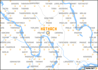
Hà Thạch (Vĩnh Phú, Vietnam)Hà Thạch is a town in the Vĩnh Phú region of Vietnam. An overview map of the region around Hà Thạch is displayed below.
regional and 3d topo map of Hà Thạch, Vietnam ::
Hà Thạch airports ::
The nearest airport is HAN - Hanoi Noibai Intl, located 61.1 km east of Hà Thạch.
Nearby towns ::
Xóm Ðinh Giông (0.0km north) //
Hà Lộc (1.9km north) //
Hiền Quan (2.5km south west) //
Cạo Du (2.5km south east) //
Thú Tràng (2.5km south west) //
Chú Mật (2.5km north west) //
Phú Thọ (2.9km west) //
Cành Phú (3.5km east) //
Vực Tràng (3.7km south) //
Phu Hó (3.7km north) //
Thanh Lân (3.9km south west) //
Binh Quân (4.1km north west) //
Ðỗ Sơn (5.1km south west) //
Gia Áo (5.6km south) //
Ngọc Tháp (5.6km north) //
Yên Lãnh (5.5km west) //
Hưng Long (5.5km west) //
Hương Nha (5.8km south) //
Nam Cường (5.8km south) //
Xuân Lũng (5.8km south) //
Thạch Sơn (6.5km south east) //
Mạo Phô (6.5km south west) //
Cẩm Thanh (6.5km south east) //
Tiên Cương (6.4km south east) //
Làng Bầng (6.5km north west) //
Phức Lộc (6.4km north east) //
Phú Cường (1) (7.6km south) //
Phú Lỗ (7.1km east) //
Thanh Uyên (7.6km south) //
[all distances 'as the bird flies' and approximate] 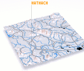 Places with similar names to Hà Thạch, Vietnam ::
// Hậu Thạch (VN)
Disclaimer :: Information on this page comes without warranty of any kind |
||
|
Where is Hà Thạch? Elevation and coordinates ::
Latitude (lat): 21°24'0"N Longitude (lon): 105°15'0"E
Elevation (approx.): 19m (map arrows pan, magnifying glasses zoom) |
||
|
Visiting Hà Thạch? Hotel/Accommodation ::
Book a hotel in Hà Thạch Travel Guide ::
Buy a travel guide for Vietnam rental cars ::
car rental offers GPS waypoint ::
download a GPX waypoint (PoI) of Hà Thạch for your GPS receiver
|
||