|
search place name
|
||
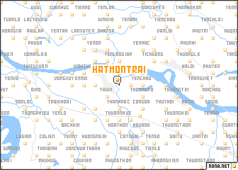
Hat Môn Trai (Vietnam)Hat Môn Trai is a town in Vietnam. An overview map of the region around Hat Môn Trai is displayed below.
regional and 3d topo map of Hat Môn Trai, Vietnam ::
Hat Môn Trai airports ::
The nearest airport is HAN - Hanoi Noibai Intl, located 20.5 km north east of Hat Môn Trai.
Nearby towns ::
Vĩnh Ninh (1.9km north) //
Thọ Lão (1.7km east) //
Thu Vĩ (2.5km south west) //
Trung Hà (2.5km north east) //
Thanh Mạc (3.7km south) //
Hát Môn (3.5km west) //
Vĩnh Lộc (3.5km west) //
Yên Châu (3.5km east) //
Nại Tử Châu (3.5km east) //
Yên Lão Giáp (3.7km north) //
Ðình Vi Chau (3.9km south east) //
Thượng Mỗ (3.9km south east) //
Trung Hà (4.1km north west) //
Ba Dương Thi (3.9km north east) //
Nại Tư Châu (3.9km north east) //
Hương Vĩnh (5.1km south west) //
Cổ Ngõa (5.1km south east) //
Lương Quán (5.1km north west) //
Triệu Xuyên (5.2km west) //
Thuan Nhue (5.6km south) //
Trung Hà (5.8km north) //
Ðại Diền (5.8km south) //
Vĩnh Khang (5.5km west) //
Vinh Tho (5.5km west) //
Thâp Thuan (5.8km south) //
Ðan Phượng (5.8km south east) //
Phụng Thượng (6.4km south west) //
Ngọc Tảo (6.5km south west) //
Yên Ỏn (6.5km north west) //
[all distances 'as the bird flies' and approximate] 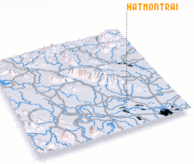 Places with similar names to Hat Môn Trai, Vietnam :: Disclaimer :: Information on this page comes without warranty of any kind |
||
|
Where is Hat Môn Trai? Elevation and coordinates ::
Latitude (lat): 21°8'0"N Longitude (lon): 105°38'0"E
Elevation (approx.): 11m (map arrows pan, magnifying glasses zoom) |
||
|
Visiting Hat Môn Trai? Hotel/Accommodation ::
Book a hotel in Hat Môn Trai Travel Guide ::
Buy a travel guide for Vietnam rental cars ::
car rental offers GPS waypoint ::
download a GPX waypoint (PoI) of Hat Môn Trai for your GPS receiver
|
||