|
search place name
|
||
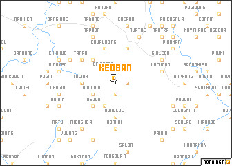
Kéo Ban (Lạng Sơn, Vietnam)Kéo Ban is a town in the Lạng Sơn region of Vietnam. An overview map of the region around Kéo Ban is displayed below.
regional and 3d topo map of Kéo Ban, Vietnam ::
Kéo Ban airports ::
The nearest airport is HAN - Hanoi Noibai Intl, located 93.9 km south west of Kéo Ban.
Other airports nearby include NNG - Nanning Wuxu (203.6 km north east), Nearby towns ::
Bắc Sơn (1.9km south) //
Lung Hat (1) (1.7km east) //
Loung Day (1) (1.9km north) //
Nam Lô (2.5km north west) //
Quinh Son (2.5km north west) //
Duc Tham (4.1km south west) //
Hữu Vĩnh (3.9km south west) //
Triêu Vu (5.1km south west) //
Ga La (5.1km north west) //
Nông Luc (5.6km south) //
Ta Linh (5.2km west) //
Chua Luông (5.8km north) //
Bình Gia (5.8km north) //
Tan Ra (6.4km north west) //
Làng Huyen (7.4km south) //
Mõ Nhai (7.4km south) //
Mo Cuong (7.1km east) //
Gia Léou (7.8km north east) //
Na Cuom (7.8km north west) //
Na Puon (8.2km north west) //
Nua Toc (8.2km north east) //
Thông Hòa (9.0km south west) //
Gon Kien (9.0km south west) //
Nam Trà (10.1km north east) //
[all distances 'as the bird flies' and approximate] 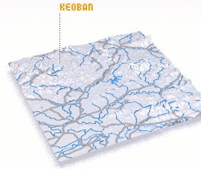 Places with similar names to Kéo Ban, Vietnam ::
Disclaimer :: Information on this page comes without warranty of any kind |
||
|
Where is Kéo Ban? Elevation and coordinates ::
Latitude (lat): 21°54'0"N Longitude (lon): 106°21'0"E
Elevation (approx.): 471m (map arrows pan, magnifying glasses zoom) |
||
|
Visiting Kéo Ban? Hotel/Accommodation ::
Book a hotel in Kéo Ban Travel Guide ::
Buy a travel guide for Vietnam rental cars ::
car rental offers GPS waypoint ::
download a GPX waypoint (PoI) of Kéo Ban for your GPS receiver
|
||