|
search place name
|
||
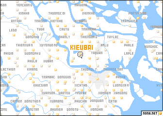
Kiếu Bái (Hải Phòng, Vietnam)Kiếu Bái is a town in the Hải Phòng region of Vietnam. An overview map of the region around Kiếu Bái is displayed below.
regional and 3d topo map of Kiếu Bái, Vietnam ::
Kiếu Bái airports ::
The nearest airport is HAN - Hanoi Noibai Intl, located 94.5 km west of Kiếu Bái.
Other airports nearby include NNG - Nanning Wuxu (246.1 km north east), Nearby towns ::
Phương Lăng (1.7km east) //
Trinh Xá (1.9km north) //
Roang Pha (1.7km west) //
Lâm Ðông (1.7km west) //
Trinh Huỏng (1.9km north) //
Lôi Ðộng (2.1km west) //
Dong Bai (2.5km south east) //
Giáp Ðộng (2.5km south east) //
Gián Ðộng (2.5km south east) //
Trai Dong (2.5km south east) //
Bính Ðộng (2.5km south east) //
Dực Liễn (2.5km north east) //
Núi Ðèo (2.5km north east) //
Cam Lo (3.3km south) //
Tân Dương (3.3km east) //
Lỏi Ðượng (3.5km east) //
Tả Quan (3.5km east) //
Yên Tri (3.7km south) //
An Lạc (3.7km south) //
Phương Mỹ (3.7km north) //
Hạ Lý (4.1km south east) //
Thượng Lý (4.1km south east) //
Nga Ba (3.9km south east) //
Thiên Ðông (4.1km north east) //
Thường Son (3.9km north east) //
Quinh Cu (4.1km south west) //
Thái Lai (3.9km north west) //
Vĩnh Khê (4.8km south) //
Lương Kê (5.1km north east) //
[all distances 'as the bird flies' and approximate] 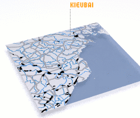 Places with similar names to Kiếu Bái, Vietnam ::
Disclaimer :: Information on this page comes without warranty of any kind |
||
|
Where is Kiếu Bái? Elevation and coordinates ::
Latitude (lat): 20°54'0"N Longitude (lon): 106°39'0"E
Elevation (approx.): 4m (map arrows pan, magnifying glasses zoom) |
||
|
Visiting Kiếu Bái? Hotel/Accommodation ::
Book a hotel in Kiếu Bái Travel Guide ::
Buy a travel guide for Vietnam rental cars ::
car rental offers GPS waypoint ::
download a GPX waypoint (PoI) of Kiếu Bái for your GPS receiver
|
||