|
search place name
|
||
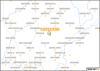
Kong Kroh (Vietnam)Kong Kroh is a town in Vietnam. An overview map of the region around Kong Kroh is displayed below.
regional and 3d topo map of Kong Kroh, Vietnam ::
Kong Kroh airports ::
The nearest airport is DAD - Danang Intl, located 176.8 km north of Kong Kroh.
Nearby towns ::
Kong Gua (3.6km west) //
Kong Zré (4.1km south west) //
Kon Seng (2) (4.1km north east) //
Kon Kơlang (1) (5.8km south) //
Kon Breh (5.8km north) //
Kon Bơbanh (5.7km west) //
Làng Kon Hơdram (6.5km south east) //
Kong Gum (7.6km north) //
Kon Rơnang (7.6km south) //
Kon Sơlak (7.4km east) //
Kong Cu (7.7km north west) //
Kong Ngu (8.1km north west) //
Kon Rơsek (8.1km north east) //
Kong Cut (8.2km south west) //
Kon Sơm Luh (8.2km south east) //
Kong Nu (8.2km north east) //
Xã Do Lai (9.1km south west) //
Kon Dơsing (9.2km south east) //
Kon Lum Buk (10.3km south east) //
[all distances 'as the bird flies' and approximate] 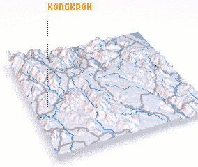 Places with similar names to Kong Kroh, Vietnam ::
// Kunga-i Gawra (IQ)
// Kangkar (SG)
// Konkui Koura (BF)
// Kangkar (IN)
// Kangkuro (ID)
// Kongker (ID)
// Gangkiri (NG)
// Cangkorah (ID)
// Kangkir (CN)
// Qongkur (CN)
Disclaimer :: Information on this page comes without warranty of any kind |
||
|
Where is Kong Kroh? Elevation and coordinates ::
Latitude (lat): 14°27'0"N Longitude (lon): 108°5'0"E
Elevation (approx.): 1119m (map arrows pan, magnifying glasses zoom) |
||
|
Visiting Kong Kroh? Hotel/Accommodation ::
Book a hotel in Kong Kroh Travel Guide ::
Buy a travel guide for Vietnam rental cars ::
car rental offers GPS waypoint ::
download a GPX waypoint (PoI) of Kong Kroh for your GPS receiver
|
||