|
search place name
|
||
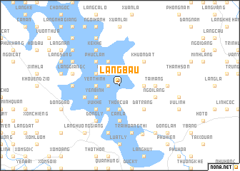
Làng Bầu (Vietnam)Làng Bầu is a town in Vietnam. An overview map of the region around Làng Bầu is displayed below.
regional and 3d topo map of Làng Bầu, Vietnam ::
Làng Bầu airports ::
The nearest airport is HAN - Hanoi Noibai Intl, located 106.5 km south east of Làng Bầu.
Nearby towns ::
Làng Minh (1.7km west) //
Làng Uân (2.5km north west) //
Làng Sinh (2.5km north west) //
Làng Chùa (2.5km north west) //
Yên Thịnh (3.4km west) //
Làng Mầy (3.4km east) //
Thôn Cua (3.7km south) //
Ðồng Tranh (3.9km north west) //
Ðá Cay (3.9km south west) //
Yên Bình (3.9km south west) //
Cửa Ngài (4.1km north west) //
Nam Vũ (4.1km south west) //
Khuôn Ðát (5.1km north east) //
Phúc Lâm (5.1km north west) //
Vũ Khê (5.1km south west) //
Ðá Trắng (5.1km south east) //
Tai Mang (5.2km east) //
Cẩm La (5.6km south) //
Làng Quang (5.5km west) //
Ngòi Làng (5.5km east) //
Ðồng Lý (6.5km south west) //
Kê Khê (6.5km north west) //
Bạch Hà (6.9km east) //
Làng Mần (6.9km west) //
Khâu Me (7.1km west) //
Làng Giang (2) (7.1km west) //
Khuốn Thuốc (7.1km west) //
Trại Hoàng Thi (7.6km south) //
Làng Uông (7.6km south) //
[all distances 'as the bird flies' and approximate] 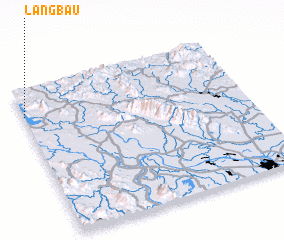 Places with similar names to Làng Bầu, Vietnam ::
Disclaimer :: Information on this page comes without warranty of any kind |
||
|
Where is Làng Bầu? Elevation and coordinates ::
Latitude (lat): 21°49'0"N Longitude (lon): 105°0'0"E
Elevation (approx.): 63m (map arrows pan, magnifying glasses zoom) |
||
|
Visiting Làng Bầu? Hotel/Accommodation ::
Book a hotel in Làng Bầu Travel Guide ::
Buy a travel guide for Vietnam rental cars ::
car rental offers GPS waypoint ::
download a GPX waypoint (PoI) of Làng Bầu for your GPS receiver
|
||