|
search place name
|
||
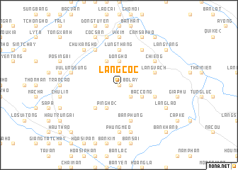
Làng Cốc (Vietnam)Làng Cốc is a town in Vietnam. An overview map of the region around Làng Cốc is displayed below.
regional and 3d topo map of Làng Cốc, Vietnam ::
Làng Cốc airports ::
The nearest airport is HAN - Hanoi Noibai Intl, located 229.7 km south east of Làng Cốc.
Nearby towns ::
Bac Cai (0.0km north) //
Nậm Hang Xa (0.0km north) //
Bò Lây (1.7km east) //
Làng Phuoi (1.9km north) //
Thôn Pèng (2.5km south east) //
Lừu Sang Hồ (2.5km north west) //
Tả Phời (2.5km north west) //
Lao Vàng Chải (3.7km north) //
Dồng Hồ (3.7km north) //
Bắc Cong (3.9km south east) //
Ko Tchou Tohoung (4.1km south west) //
Ping Ho (2) (4.1km south west) //
Làng Ðá Ðinh (4.1km north west) //
Li Kouei Tsing (5.0km south west) //
Lùng Thàng (5.6km north) //
Bản Thượng (5.5km east) //
Bản Phung (5.8km south) //
Làng Vạch (5.5km east) //
Làng Nhơn (5.5km east) //
Làng Tong Tchoung (6.5km north east) //
Chiềng (6.3km north east) //
Cam Ðường (6.3km north east) //
Lão Van Tchay (6.5km north west) //
Phùng Mèo (7.4km south) //
Phùng Mán (7.4km south) //
Nam Cường (7.4km north) //
Vĩ Kim (7.4km north) //
Hường Vinh (7.6km south) //
Vù Lùng Sung (7.1km west) //
[all distances 'as the bird flies' and approximate] 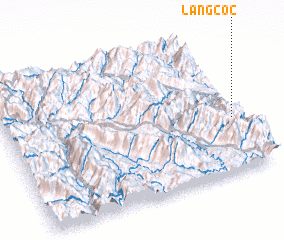 Places with similar names to Làng Cốc, Vietnam ::
Disclaimer :: Information on this page comes without warranty of any kind |
||
|
Where is Làng Cốc? Elevation and coordinates ::
Latitude (lat): 22°23'0"N Longitude (lon): 103°58'0"E
Elevation (approx.): 443m (map arrows pan, magnifying glasses zoom) |
||
|
Visiting Làng Cốc? Hotel/Accommodation ::
Book a hotel in Làng Cốc Travel Guide ::
Buy a travel guide for Vietnam rental cars ::
car rental offers GPS waypoint ::
download a GPX waypoint (PoI) of Làng Cốc for your GPS receiver
|
||