|
search place name
|
||
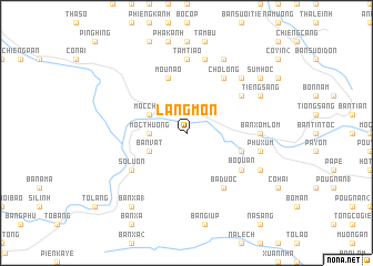
Làng Môn (Sơn La, Vietnam)Làng Môn is a town in the Sơn La region of Vietnam. An overview map of the region around Làng Môn is displayed below.
regional and 3d topo map of Làng Môn, Vietnam ::
Làng Môn airports ::
The nearest airport is HAN - Hanoi Noibai Intl, located 127.7 km east of Làng Môn.
Nearby towns ::
Bản Àng (3.5km west) //
Mộc Thượng (3.5km west) //
Bản Vật (3.9km south west) //
Mộc Châu (3.9km north west) //
Bản Chiềng Di (5.5km east) //
Mou Nao (5.8km north) //
Bo Quan (6.4km south east) //
Bả Duộc (6.6km south east) //
Chô Lông (6.6km north east) //
So Lườn (6.4km south west) //
Bản Pha Kha (6.4km north east) //
Bản Ha (6.4km north east) //
Tam Tiao (7.4km north) //
Bản Xôm Lôm (6.9km east) //
Phu Xum (7.2km east) //
Bản Suối Houc (7.6km north) //
Ba Xenn (7.6km north) //
Kem Phieng (7.6km north east) //
Bản Pha Khen (8.2km north east) //
Bản Pha Xum (7.9km south east) //
Tieng Sang (7.9km north east) //
Chiềng San Tơ (7.9km north east) //
Bản Xà (1) (9.1km south west) //
Bản Ôn (8.9km north east) //
Sum Hôc (8.9km north east) //
[all distances 'as the bird flies' and approximate]  Places with similar names to Làng Môn, Vietnam ::
Disclaimer :: Information on this page comes without warranty of any kind |
||
|
Where is Làng Môn? Elevation and coordinates ::
Latitude (lat): 20°50'0"N Longitude (lon): 104°39'0"E
Elevation (approx.): 880m (map arrows pan, magnifying glasses zoom) |
||
|
Visiting Làng Môn? Hotel/Accommodation ::
Book a hotel in Làng Môn Travel Guide ::
Buy a travel guide for Vietnam rental cars ::
car rental offers GPS waypoint ::
download a GPX waypoint (PoI) of Làng Môn for your GPS receiver
|
||