|
search place name
|
||
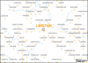
Làng Thài (Vietnam)Làng Thài is a town in Vietnam. An overview map of the region around Làng Thài is displayed below.
regional and 3d topo map of Làng Thài, Vietnam ::
Làng Thài airports ::
The nearest airport is HAN - Hanoi Noibai Intl, located 176.0 km south east of Làng Thài.
Nearby towns ::
Làng Trì (0.0km north) //
Làng Mác (1.9km south) //
Làng Khoang (1.7km west) //
Lương Sơn (2.5km south east) //
Làng Lư (2.5km north east) //
Làng Ma (1) (2.5km north west) //
Làng Cát (3.7km south) //
Bảo Yên (4.1km north east) //
Làng Trình (3.9km south east) //
Làng Là (3.9km south east) //
Làng Khoa (3.9km north east) //
Làng Tiom (4.1km north west) //
Làng Xà (5.1km south east) //
Bùn Thượng (5.1km west) //
Làng Bông (5.1km west) //
Làng Bôn (1) (6.3km north west) //
Làng Thíp (2) (6.5km south west) //
Ngòi Thâu (6.9km east) //
Bài Thượng (6.9km west) //
Làng Miễu (7.1km east) //
Làng Sắc (7.6km north) //
Làng Qua (1) (7.6km north) //
Mai Nội (7.6km north) //
Làng Muông (7.6km south east) //
Làng Bôn (2) (7.6km north west) //
Làng Kem (7.8km south east) //
Bản Ðam (7.8km south west) //
Làng Kim (8.2km north west) //
Nàm Quê (8.8km north west) //
[all distances 'as the bird flies' and approximate] 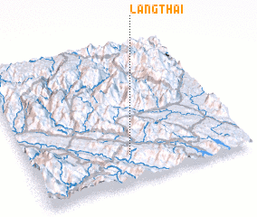 Places with similar names to Làng Thài, Vietnam ::
Disclaimer :: Information on this page comes without warranty of any kind |
||
|
Where is Làng Thài? Elevation and coordinates ::
Latitude (lat): 22°12'0"N Longitude (lon): 104°28'0"E
Elevation (approx.): 269m (map arrows pan, magnifying glasses zoom) |
||
|
Visiting Làng Thài? Hotel/Accommodation ::
Book a hotel in Làng Thài Travel Guide ::
Buy a travel guide for Vietnam rental cars ::
car rental offers GPS waypoint ::
download a GPX waypoint (PoI) of Làng Thài for your GPS receiver
|
||