|
search place name
|
||
Lực Ðáp (Hải Hưng, Vietnam)Lực Ðáp is a town in the Hải Hưng region of Vietnam. An overview map of the region around Lực Ðáp is displayed below.
regional and 3d topo map of Lực Ðáp, Vietnam ::

Lực Ðáp airports ::
The nearest airport is HAN - Hanoi Noibai Intl, located 81.9 km north west of Lực Ðáp.
Other airports nearby include NNG - Nanning Wuxu (279.6 km north east), Nearby towns ::
Lộng Khê (1.7km east) //
Hưng Nhượng (1.9km south) //
Ðồng Han (2.5km north west) //
Ninh Giang (2.5km north east) //
Quang Dưc (2.5km south west) //
Vĩnh Xuyên (3.7km north) //
Bồ Dương (3.5km west) //
Tiên Răc (3.5km west) //
Ha Phương (3.5km east) //
La Khê (4.1km north west) //
Cưu Phu Phố (3.9km north east) //
Bồ Trang (4.1km south west) //
Bồng Lai (5.1km north west) //
Oai Nỗ (5.1km south east) //
Dông Trạch (5.2km west) //
Hà Hải (5.5km east) //
Ðạo Lương (6.6km north west) //
Cư Lộc (6.6km north east) //
Ðưc Linh (6.6km south east) //
Cúc Th (6.9km west) //
Da Nghi (7.6km north) //
Hưu Trung (7.2km west) //
Tiên Liệt (7.2km west) //
Phúc Lâm (7.6km north) //
Bến Hiệp (7.2km west) //
Hữu Chung (7.2km east) //
Lài Ôn (7.6km south) //
Quỳnh Ngọc (7.6km south west) //
Thượng Ðồng (7.6km south east) //
[all distances 'as the bird flies' and approximate] 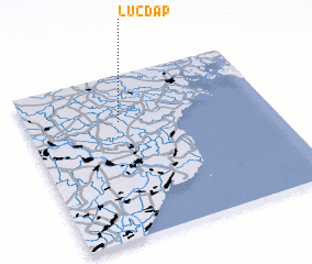
Disclaimer :: Information on this page comes without warranty of any kind |
||
|
Where is Lực Ðáp? Elevation and coordinates ::
Latitude (lat): 20°43'0"N Longitude (lon): 106°23'0"E
Elevation (approx.): 1m (map arrows pan, magnifying glasses zoom) |
||
|
Visiting Lực Ðáp? Hotel/Accommodation ::
Book a hotel in Lực Ðáp Travel Guide ::
Buy a travel guide for Vietnam rental cars ::
car rental offers GPS waypoint ::
download a GPX waypoint (PoI) of Lực Ðáp for your GPS receiver
|
||