|
search place name
|
||
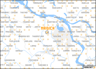
Mai Dich (Vietnam)Mai Dich is a town in Vietnam. An overview map of the region around Mai Dich is displayed below.
regional and 3d topo map of Mai Dich, Vietnam ::
Mai Dich airports ::
The nearest airport is HAN - Hanoi Noibai Intl, located 20.9 km north of Mai Dich.
Nearby towns ::
Phú Mỹ (0.0km north) //
Mễ Trì (1.9km south) //
Ðinh Thôn (1.9km south) //
Nhân Mỹ (1.9km south) //
Dich Vong Trung (1.7km east) //
Hoài Dưc Phủ (1.9km north) //
Phú Ðổ (2.5km south west) //
Nghĩa Ðô (2.5km north east) //
Khu Loc (3.7km north) //
Cao Ðình (3.7km north) //
Vĩnh Phúc (3.5km east) //
Hồ Khẩu (3.5km east) //
Kim Mã (3.5km east) //
Thụy Khuê (3.5km east) //
Ðại Yên (3.5km east) //
Liễu Giai (3.5km east) //
Thượng Thôn (3.9km south west) //
Văn Trì (3.9km north west) //
Cổ Nhuế Viên (4.1km north west) //
Yên Lãng (3.9km south east) //
Giảng Vũ (3.9km south east) //
Thủ Lệ (3.9km south east) //
Xuân Tao Xã (4.1km north east) //
Phú Thú (5.1km south west) //
Phúc Lý (5.1km north west) //
Xóm Tren (5.1km south east) //
Nhược Công (5.1km south east) //
Quan Nhần (5.1km south east) //
Ðong Kho (5.1km north east) //
[all distances 'as the bird flies' and approximate] 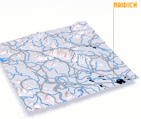 Places with similar names to Mai Dich, Vietnam ::
Disclaimer :: Information on this page comes without warranty of any kind |
||
|
Where is Mai Dich? Elevation and coordinates ::
Latitude (lat): 21°2'0"N Longitude (lon): 105°47'0"E
Elevation (approx.): 9m (map arrows pan, magnifying glasses zoom) |
||
|
Visiting Mai Dich? Hotel/Accommodation ::
Book a hotel in Mai Dich Travel Guide ::
Buy a travel guide for Vietnam rental cars ::
car rental offers GPS waypoint ::
download a GPX waypoint (PoI) of Mai Dich for your GPS receiver
|
||