|
search place name
|
||
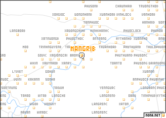
Mang Ri (1) (Vietnam)Mang Ri (1) is a town in Vietnam. An overview map of the region around Mang Ri (1) is displayed below.
regional and 3d topo map of Mang Ri (1), Vietnam ::
Mang Ri (1) airports ::
The nearest airport is DAD - Danang Intl, located 114.4 km north west of Mang Ri (1).
Nearby towns ::
Bào Lang (1) (0.0km north) //
Bao My (1.8km west) //
Ruộng Cân (1) (1.9km south) //
Phương Ðá (1) (1.8km east) //
Go Soi (2.6km south west) //
Lang Bao (2.6km north west) //
Thạch Nham (3) (2.6km north west) //
Ðà Sơn (1) (2.6km north east) //
Phước Thọ (2) (4.1km north west) //
Xã Nay (4.0km south west) //
Tam Rao (4.0km south west) //
Ma Viên (4.0km south west) //
An Trang (5.2km north east) //
Xã Giồng Cái (5.4km west) //
An Thành (2) (5.6km north) //
Phước Lâm (5.6km north) //
Phước Phong (5.6km north) //
Xã Ðông Chim (1) (5.8km north) //
Gorol (2) (5.7km west) //
Thuận Hòa (3) (5.7km east) //
Xã Ðiêu (5.7km west) //
Trung Phước (2) (5.8km north) //
Thạch Nham (2) (6.5km north west) //
An Hòa (1) (6.6km north west) //
Minh Khánh (2) (6.6km north east) //
Minh Khánh (1) (6.6km north east) //
Hà Thành (7.2km west) //
An Bình Trại (1) (7.4km north) //
Ruộng Viên (7.4km west) //
[all distances 'as the bird flies' and approximate] 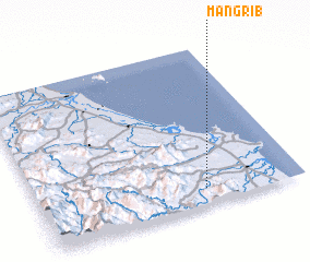 Places with similar names to Mang Ri (1), Vietnam ::
Disclaimer :: Information on this page comes without warranty of any kind |
||
|
Where is Mang Ri (1)? Elevation and coordinates ::
Latitude (lat): 15°6'0"N Longitude (lon): 108°38'0"E
Elevation (approx.): 21m (map arrows pan, magnifying glasses zoom) |
||
|
Visiting Mang Ri (1)? Hotel/Accommodation ::
Book a hotel in Mang Ri (1) Travel Guide ::
Buy a travel guide for Vietnam rental cars ::
car rental offers GPS waypoint ::
download a GPX waypoint (PoI) of Mang Ri (1) for your GPS receiver
|
||