|
search place name
|
||
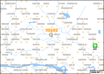
Mộ Ðạo (Vietnam)Mộ Ðạo is a town in Vietnam. An overview map of the region around Mộ Ðạo is displayed below.
regional and 3d topo map of Mộ Ðạo, Vietnam ::
Mộ Ðạo airports ::
The nearest airport is HAN - Hanoi Noibai Intl, located 14.9 km east of Mộ Ðạo.
Nearby towns ::
Ðại Lợi (1.7km east) //
Tiên Hương (1.9km north) //
Hương Canh (1.9km north) //
Ðạm Xuyên (2.5km south east) //
Nội Phật (3.7km north) //
Phú Mỹ (3.7km south) //
Kim Giao (3.7km south) //
Yên Bài (4.1km south west) //
Phúc Yên (3.9km south east) //
Tiền Châu (5.1km south east) //
Ðôn Hậu (5.1km north west) //
Vân Ðài (5.1km south west) //
Cư An (5.8km south) //
Yên Lan (5.5km west) //
Ðinh Xá (6.4km south west) //
Vị Trù (6.4km north west) //
Văn Lôi (6.5km south east) //
Cao Quang (6.5km north east) //
Nhuế Khúc (6.4km south east) //
Yên Ðiêm (6.4km north east) //
Mây Thôn (6.4km south east) //
Hiển Lễ (6.4km north east) //
Xuân Hòa (7.0km north east) //
Phù Lai (6.9km east) //
Yên Quán (6.9km west) //
Thiện Kế (7.4km north) //
Yên Mạc (7.4km south) //
Thanh Nhàn (7.2km east) //
Nam Cường (7.6km south) //
[all distances 'as the bird flies' and approximate] 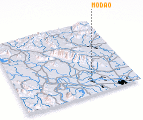 Places with similar names to Mộ Ðạo, Vietnam ::
Disclaimer :: Information on this page comes without warranty of any kind |
||
|
Where is Mộ Ðạo? Elevation and coordinates ::
Latitude (lat): 21°15'0"N Longitude (lon): 105°40'0"E
Elevation (approx.): 13m (map arrows pan, magnifying glasses zoom) |
||
|
Visiting Mộ Ðạo? Hotel/Accommodation ::
Book a hotel in Mộ Ðạo Travel Guide ::
Buy a travel guide for Vietnam rental cars ::
car rental offers GPS waypoint ::
download a GPX waypoint (PoI) of Mộ Ðạo for your GPS receiver
|
||