|
search place name
|
||
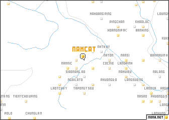
Nam Cat (Vietnam)Nam Cat is a town in Vietnam. An overview map of the region around Nam Cat is displayed below.
regional and 3d topo map of Nam Cat, Vietnam ::
Nam Cat airports ::
The nearest airport is HAN - Hanoi Noibai Intl, located 212.2 km south east of Nam Cat.
Nearby towns ::
Nam Ta (1.7km west) //
Souei Tou Fang (1.7km west) //
Nam Lau (2.5km south east) //
Nieou Koun Thang (2.5km north east) //
Niou Sang (2.5km south west) //
Keou Gie Pong (3.7km south) //
Thanh Thủy (3.9km north east) //
Siao Nam Lao (4.1km south west) //
Nam Nic (3.9km south west) //
Na Ton (5.1km east) //
Mao Ping (5.8km south) //
Coc Nié (5.4km east) //
Ngai La To (5.8km south) //
Nam Lao (6.3km south west) //
Ta Pong Tseu (7.4km south) //
Phương Dộ (7.6km south east) //
Làng Sio Phong (7.6km south west) //
Hoang Ni Pa (2) (8.8km north east) //
Lao Tchay (9.0km south west) //
Ping Chan (10.1km north east) //
[all distances 'as the bird flies' and approximate] 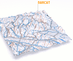 Places with similar names to Nam Cat, Vietnam ::
Disclaimer :: Information on this page comes without warranty of any kind |
||
|
Where is Nam Cat? Elevation and coordinates ::
Latitude (lat): 22°54'0"N Longitude (lon): 104°49'0"E
Elevation (approx.): 729m (map arrows pan, magnifying glasses zoom) |
||
|
Visiting Nam Cat? Hotel/Accommodation ::
Book a hotel in Nam Cat Travel Guide ::
Buy a travel guide for Vietnam rental cars ::
car rental offers GPS waypoint ::
download a GPX waypoint (PoI) of Nam Cat for your GPS receiver
|
||