|
search place name
|
||
Nam Péa (Lai Châu, Vietnam)Nam Péa is a town in the Lai Châu region of Vietnam. An overview map of the region around Nam Péa is displayed below.
regional and 3d topo map of Nam Péa, Vietnam ::
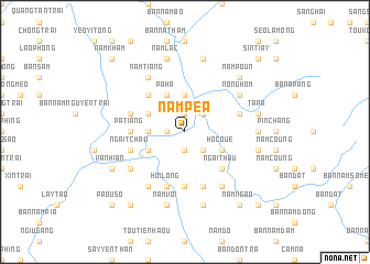
Nearby towns ::
La Hu San (1.9km south) //
Bô Hô (1.9km south) //
Yen Tang (1.7km west) //
Nam Tia (1.9km north) //
Nam Pong (2.5km south east) //
Nam Coué (2.5km north east) //
Kin Tchou Tiay (3.4km west) //
Hong Ngài (3.7km north) //
Hô Coué (3.9km south east) //
Bản Pa Sâm (3.9km south west) //
Nam Diang (3.9km north west) //
Pa Ha (4.1km north west) //
Ngai Thau (5.1km south east) //
Nam Tiang (5.1km north west) //
Pa Tiang (5.1km west) //
Bản Nam Phần (5.6km south) //
Nậm Ma (5.5km west) //
Ngai Tchau (5.5km west) //
Bản Nam Cẩn (5.8km south) //
Hổi Long (5.8km south) //
Bản Nam Ma Trại (5.5km west) //
Nam Loum (5.5km east) //
Nong Héo (5.5km east) //
Bản Pa Hang (6.3km south west) //
Bản Nam Ðộc Quảng (6.5km south east) //
Nam Tiang (6.5km north west) //
Chan Toun (6.5km south west) //
Nong Hom (6.3km north east) //
Nam Ha (6.9km east) //
[all distances 'as the bird flies' and approximate] 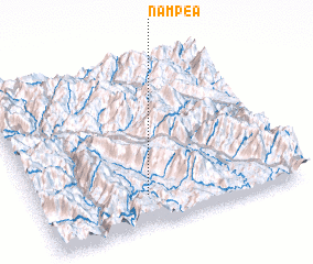 Places with similar names to Nam Péa, Vietnam ::
Disclaimer :: Information on this page comes without warranty of any kind |
||
|
Where is Nam Péa? Elevation and coordinates ::
Latitude (lat): 22°11'0"N Longitude (lon): 103°25'0"E
Elevation (approx.): 228m (map arrows pan, magnifying glasses zoom) |
||
|
Visiting Nam Péa? Hotel/Accommodation ::
Book a hotel in Nam Péa Travel Guide ::
Buy a travel guide for Vietnam rental cars ::
car rental offers GPS waypoint ::
download a GPX waypoint (PoI) of Nam Péa for your GPS receiver
|
||