|
search place name
|
||
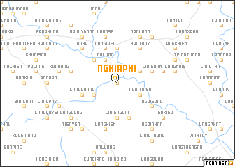
Nghĩa Phì (Vietnam)Nghĩa Phì is a town in Vietnam. An overview map of the region around Nghĩa Phì is displayed below.
regional and 3d topo map of Nghĩa Phì, Vietnam ::
Nghĩa Phì airports ::
The nearest airport is HAN - Hanoi Noibai Intl, located 166.1 km south east of Nghĩa Phì.
Nearby towns ::
Dông Khoui Dam (0.0km north) //
Làng Mê (3.9km north east) //
Dong Coc Nùng (3.9km south west) //
Ngòi Triền (3.9km south east) //
Na Lùng (4.1km north west) //
Làng Trang (4.1km north west) //
Băc Dung Dộng (5.0km north west) //
Làng Mã (5.6km north) //
Làng Ngoai (5.6km south) //
Làng Ham (5.5km east) //
Làng Viên (5.8km north) //
Làng Chang (5.5km west) //
Bản Dộng (5.8km north) //
Bản Goai (5.8km south) //
Bản Thuy (6.5km north east) //
Ngòi My (6.3km south east) //
Ngòi Sung (6.3km south east) //
Go Hec (7.1km west) //
Làng Gin (7.1km east) //
Làng Se (7.6km north) //
Làng Kiêm (7.6km south) //
Dô Ha (7.6km north west) //
Na Duong (8.2km north east) //
Bản Qua (8.2km north east) //
Năm Mý Ðộng (9.0km north west) //
Làng Cay (9.0km north east) //
Làng Cung (8.8km south west) //
Thác Lan (8.8km south east) //
Tiên Kiều (8.8km south east) //
[all distances 'as the bird flies' and approximate] 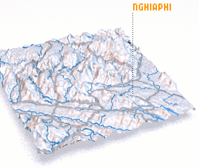 Places with similar names to Nghĩa Phì, Vietnam ::
Disclaimer :: Information on this page comes without warranty of any kind |
||
|
Where is Nghĩa Phì? Elevation and coordinates ::
Latitude (lat): 22°21'0"N Longitude (lon): 104°45'0"E
Elevation (approx.): 86m (map arrows pan, magnifying glasses zoom) |
||
|
Visiting Nghĩa Phì? Hotel/Accommodation ::
Book a hotel in Nghĩa Phì Travel Guide ::
Buy a travel guide for Vietnam rental cars ::
car rental offers GPS waypoint ::
download a GPX waypoint (PoI) of Nghĩa Phì for your GPS receiver
|
||