|
search place name
|
||
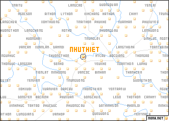
Như Thiết (Hà Bắc, Vietnam)Như Thiết is a town in the Hà Bắc region of Vietnam. An overview map of the region around Như Thiết is displayed below.
regional and 3d topo map of Như Thiết, Vietnam ::
Như Thiết airports ::
The nearest airport is HAN - Hanoi Noibai Intl, located 34.2 km west of Như Thiết.
Nearby towns ::
Việt Yên (0.0km north) //
Deo Thon (1.9km north) //
Dục Quang (1.7km west) //
My Ðiền (1.9km south) //
Hoàng Mai (2.5km south west) //
Phúc Tằng (2.5km south east) //
Ngoc Xuân (3.7km north) //
Mỹ Cầu (3.5km east) //
Ðông Thôn (7) (3.5km east) //
Vân Cốc (3.7km south) //
Nghĩa Hạ (4.1km north east) //
Trung Lai (4.1km north east) //
Thiệt Thượng (4.1km north east) //
Phúc Lâm (3.9km south west) //
Yêu Khê (3.9km south east) //
Mai Vũ (5.1km south west) //
Bình An (5.1km south east) //
Thượng Thôn (5.2km west) //
Nam Xương (5.5km east) //
Sơn Quang (5.5km west) //
Ðâm Nội (5.5km west) //
Trung Ðồng (5.8km south) //
Sen Hồ (5.5km west) //
Phần Trì (1) (5.5km east) //
Ðồng Thôn (6.4km north east) //
Mỏ Thổ (6.5km north west) //
Chuế Dương (6.5km north east) //
Hiêp Noi (6.5km north east) //
Ninh Ðộng (6.4km south west) //
[all distances 'as the bird flies' and approximate] 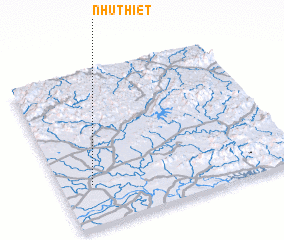 Places with similar names to Như Thiết, Vietnam :: Disclaimer :: Information on this page comes without warranty of any kind |
||
|
Where is Như Thiết? Elevation and coordinates ::
Latitude (lat): 21°16'0"N Longitude (lon): 106°8'0"E
Elevation (approx.): 6m (map arrows pan, magnifying glasses zoom) |
||
|
Visiting Như Thiết? Hotel/Accommodation ::
Book a hotel in Như Thiết Travel Guide ::
Buy a travel guide for Vietnam rental cars ::
car rental offers GPS waypoint ::
download a GPX waypoint (PoI) of Như Thiết for your GPS receiver
|
||