|
search place name
|
||
Pa Du (1) (Vietnam)Pa Du (1) is a town in Vietnam. An overview map of the region around Pa Du (1) is displayed below.
regional and 3d topo map of Pa Du (1), Vietnam ::

Pa Du (1) airports ::
The nearest airport is DAD - Danang Intl, located 105.4 km east of Pa Du (1).
Other airports nearby include PKZ - Pakse (197.7 km south west), Nearby towns ::
Pa Du (2) (1.8km west) //
Bou Aie Piaum (2.6km south west) //
Bou Aie Tuong (2.6km south west) //
A Lưới (1) (3.7km north) //
Ale Ninh (1) (4.1km north west) //
Con Tom (4.0km south east) //
Ta Bat (4.0km south east) //
Bou Aie Ha (5.1km south west) //
Ale Iock (6.5km north west) //
Ale Lock (2) (7.4km west) //
Ha Tia (7.6km north) //
Ale Ninh (2) (8.0km north west) //
Kon Tom (8.0km south east) //
[all distances 'as the bird flies' and approximate] 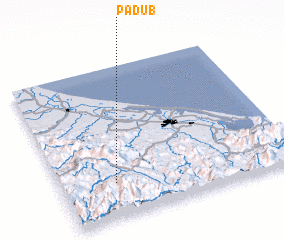 Places with similar names to Pa Du (1), Vietnam ::
Disclaimer :: Information on this page comes without warranty of any kind |
||
|
Where is Pa Du (1)? Elevation and coordinates ::
Latitude (lat): 16°14'0"N Longitude (lon): 107°14'0"E
Elevation (approx.): 554m (map arrows pan, magnifying glasses zoom) |
||
|
Visiting Pa Du (1)? Hotel/Accommodation ::
Book a hotel in Pa Du (1) Travel Guide ::
Buy a travel guide for Vietnam rental cars ::
car rental offers GPS waypoint ::
download a GPX waypoint (PoI) of Pa Du (1) for your GPS receiver
|
||