|
search place name
|
||
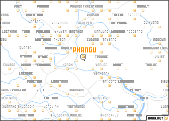
Pha Ngữ (Thanh Hóa, Vietnam)Pha Ngữ is a town in the Thanh Hóa region of Vietnam. An overview map of the region around Pha Ngữ is displayed below.
regional and 3d topo map of Pha Ngữ, Vietnam ::
Pha Ngữ airports ::
The nearest airport is HAN - Hanoi Noibai Intl, located 132.5 km north of Pha Ngữ.
Nearby towns ::
Nhật Quang (1.7km west) //
Trinh Diện (2.5km south east) //
Phúc Tường (2.5km south west) //
Phù Quâng (2.5km north west) //
Ca Ðiệp (2.5km north west) //
Trại Mực (3.5km east) //
Sáo Sơn (3.9km south east) //
Yên Lộc (3.9km south east) //
Hồ Nam (3.9km south west) //
Du Ngh (3.9km north east) //
Vĩnh Lộc (3.9km north west) //
Cù Ðông (4.1km north east) //
Yên Hoành (5.1km south east) //
Mỹ Chí (5.1km north east) //
Phú Lâm (5.8km north) //
Bào Thôn (5.8km north) //
Mai Vuc (6.4km south east) //
Vân Lung (6.6km north east) //
Cảm Bào (6.6km north west) //
Tây Trác (6.4km north east) //
Phú Sơn (6.4km north west) //
Hương Thiêu Yên (6.3km west) //
Ðan Nê Thương (7.0km west) //
Ðô Thôn (7.0km west) //
Ngọc Yên (7.4km north) //
Dắc Lộc (7.1km west) //
Thanh Phú (7.6km south) //
Ða Bút (7.2km east) //
Van Bân (7.2km west) //
[all distances 'as the bird flies' and approximate] 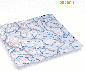 Places with similar names to Pha Ngữ, Vietnam ::
Disclaimer :: Information on this page comes without warranty of any kind |
||
|
Where is Pha Ngữ? Elevation and coordinates ::
Latitude (lat): 20°2'0"N Longitude (lon): 105°39'0"E
Elevation (approx.): 27m (map arrows pan, magnifying glasses zoom) |
||
|
Visiting Pha Ngữ? Hotel/Accommodation ::
Book a hotel in Pha Ngữ Travel Guide ::
Buy a travel guide for Vietnam rental cars ::
car rental offers GPS waypoint ::
download a GPX waypoint (PoI) of Pha Ngữ for your GPS receiver
|
||