|
search place name
|
||
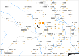
Phố Cò (Bắc Thái, Vietnam)Phố Cò is a town in the Bắc Thái region of Vietnam. An overview map of the region around Phố Cò is displayed below.
regional and 3d topo map of Phố Cò, Vietnam ::
Phố Cò airports ::
The nearest airport is HAN - Hanoi Noibai Intl, located 25.7 km south of Phố Cò.
Nearby towns ::
Làng Viên Ông (1.7km west) //
Môi Tra (1.9km north) //
Dắc Hiền (2.5km south east) //
Sơn Cốt (3.7km south) //
Na Dao Tổng (3.7km north) //
Cầu Ðông (3.4km east) //
Phi Ðơn (4.1km north west) //
Cốt Ngạnh (4.1km south east) //
Xóm Diên (3.9km south east) //
An Mê (3.9km north east) //
Vân Ðương (3.9km north east) //
Ba Hàng (4.6km south east) //
Làng Hồ (5.2km west) //
Vân Dương Hạ (5.2km east) //
Làng Său (5.8km north) //
Tùng Tự (5.8km north) //
Thượng Nhân (6.5km south west) //
Ke Choy (6.5km north west) //
Thanh Thù (6.4km south east) //
Diềm Thụy (6.9km east) //
Bến Tay (7.4km south) //
Thôn Niêu (7.4km north) //
Sơn Mi (7.6km north) //
Ðèo Nưa (7.1km west) //
Na Hoan (7.6km north) //
Thuần Pháp (7.1km east) //
Xóm Phúc (7.6km north west) //
Làng Bi (7.6km south west) //
Bá Vân (7.6km north west) //
[all distances 'as the bird flies' and approximate] 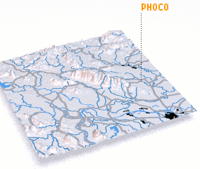 Places with similar names to Phố Cò, Vietnam ::
Disclaimer :: Information on this page comes without warranty of any kind |
||
|
Where is Phố Cò? Elevation and coordinates ::
Latitude (lat): 21°27'0"N Longitude (lon): 105°51'0"E
Elevation (approx.): 22m (map arrows pan, magnifying glasses zoom) |
||
|
Visiting Phố Cò? Hotel/Accommodation ::
Book a hotel in Phố Cò Travel Guide ::
Buy a travel guide for Vietnam rental cars ::
car rental offers GPS waypoint ::
download a GPX waypoint (PoI) of Phố Cò for your GPS receiver
|
||